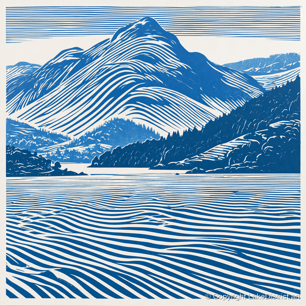
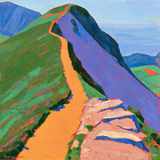
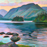
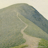
Walkers on the northern ridge of Catbells above Derwentwater

The Lake District · Visitor guide

Visiting Catbells

The little fell above Derwentwater. The walks compared, how to get there when there is nowhere to park, where to eat and stay, and the stories behind it.

Checked October 2026

Photo: Diliff, CC BY-SA 3.0Photo: Nicholas Beel on Unsplash

Catbells in a minute

The short answers

The classic walk Up from Hawes End, 7.1 km

2½ to 3½ hours: up the nose of the ridge, two short rock steps, back by the lake.

The walk →
With children? Yes, holding hands

A favourite first fell, but the two rock steps are polished and slippery when wet.

Before you go →
Where to park Hardly anywhere

About eight spaces at the start and £70 tickets on the verges. Park in Keswick and take the boat.

Parking →
By boat Ten minutes to Hawes End

The Keswick Launch crosses the lake: £6.95 for an adult, dogs free. Know your last boat back.

Boat and bus →
How high 451 m, or 1,481 ft

Number 189 of Wainwright's 214 by height, with a view out of all proportion.

Facts →
Toilets None at the start

The nearest are at the Keswick boat landings and Lakeside car park, or at Grange Bridge.

Before you go →
Food and drink Lingholm, 15 minutes away

The nearest café to Hawes End. The Swinside Inn is on the Newlands side.

Where to eat →
Want more? Maiden Moor and High Spy

The ridge carries on south, and the crowd thins out at once.

The ridge walk →

The fell on one map

Where everything is

Our map of Catbells and Derwentwater, drawn from survey data, with every walk on this page and the places worth knowing about. The numbers match the list.

Relief map of Catbells and Derwentwater with seven walking routes in colour and numbered places
Relief: Environment Agency LIDAR. Paths and water: © OpenStreetMap contributors. Heights are Wainwright's, in feet. Not for navigation: carry a proper map on the fells.
  1. 1
    Catbells summit

    Bare rock at 451 m, with Derwentwater, Keswick, Skiddaw, Blencathra, Newlands and Borrowdale all round.

  2. 2
    Skelgill Bank

    The lower north top, the first false summit, with a short rock step on the way up.

  3. 3
    Hause Gate

    The col south of the summit where four paths meet: down to the lake, down to Newlands, or on to Maiden Moor.

  4. 4
    Thomas Arthur Leonard memorial

    A slate tablet in the rock step on Skelgill Bank, to the founder of the walking holiday.

  5. 5
    Hawes End jetty

    The launch stop for the climb, ten minutes from Keswick. No toilets or café.

  6. 6
    Brandelhow

    The National Trust's first land in the Lake District, opened in 1902: oak woods and little beaches.

  7. 7
    Lingholm

    Where the Potters spent their summers; now a café and walled garden.

  8. 8
    Little Town

    The Newlands farm hamlet where Potter set Lucie's home in Mrs. Tiggy-Winkle.

  9. 9
    Keswick launch pier

    The boat landings, with a café, a shop and toilets.

  10. 10
    Friar's Crag

    The classic view down the lake to Catbells, and Ruskin's first memory.

  11. 11
    Lodore Falls

    The falls behind the hotel at the head of the lake, the subject of Southey's poem.

  12. 12
    Ashness Bridge

    The packhorse bridge above the east shore, with Skiddaw beyond.

  13. 13
    Surprise View

    A crag-top viewpoint over the lake on the road to Watendlath.

  14. 14
    Walla Crag

    A short climb above the east shore with a view straight across to Catbells.

  15. 15
    Grange

    The village at the south end, with a café, a double-arched bridge and the 78 bus.

Which walk?

The walks side by side

Distances and climbs are ours, measured along each route on the map; guides give slightly different figures, depending on where they start. Times are the range the guides give, with stops.

WalkDistanceClimbTimeGradeWainwrightsGood for
Catbells from Hawes End7.1 km / 4.4 mi440 m2½–3½ hoursModerateCatbellsA first fell, Families, Dog walkers, Photographers
Catbells by boat from Keswick4.9 km / 3.1 mi400 m2–3 hoursModerateCatbellsNo car needed, Families, A first fell, Dog walkers
Catbells on foot from Keswick10.6 km / 6.6 mi490 m4–5 hoursModerateCatbellsNo car needed, Dog walkers, Photographers
Catbells from Grange7.2 km / 4.5 mi450 m2½–3½ hoursModerateCatbellsA first fell, Dog walkers
Catbells, Maiden Moor and High Spy15.1 km / 9.4 mi800 m5–6 hoursHardCatbells, Maiden Moor, High SpyFell walkers, A big day, Photographers
The Newlands Round16.5 km / 10.2 mi1,020 m6–7 hoursStrenuousCatbells, Maiden Moor, High Spy, Dale Head, HindscarthFell walkers, A big day
Round Derwentwater17.0 km / 10.6 mi250 m4–5 hoursEasyNoneFamilies, Dog walkers, Cloudy days, No car needed

The walks

Walks up and around Catbells, compared

From the classic climb to a full day round the Newlands valley, and the flat walk round the lake. For each we have drawn the route and its height profile, said who it suits, and picked the best guides to it elsewhere on the web, so you can read the directions from people who know these routes well.

The classic

Catbells from Hawes End Moderate

7.1 km4.4 miles
440 mof climb
2½–3½ hourswith stops
450 mhighest point

The walk almost everyone means by 'doing Catbells'. From the lane above Hawes End the path zig-zags straight up the nose of the ridge, and the view over Derwentwater to Keswick, Skiddaw and Blencathra opens within minutes. Two short rock steps follow, one on Skelgill Bank, the lower top, and one just below the summit, where you will use your hands.

Our line carries on along the ridge to Hause Gate, drops east down a stone-pitched zig-zag to the lane, and comes home through the National Trust's Brandelhow woods along the lake shore. Most guides offer the terrace path back instead, a level track along the fellside above the lake.

Good for

A first fellFamiliesDog walkersPhotographers

On the way

  • The view back over Derwentwater within minutes of the start
  • The slate tablet to T. A. Leonard in the rock step on Skelgill Bank
  • The bare rock summit, with Newlands on one side and the lake on the other
  • Hause Gate, where four paths meet
  • The beaches and oak woods of Brandelhow on the way home

The rock steps are polished and slippery when wet. Keswick Mountain Rescue's own reports show most accidents here are slips, usually on the way down and usually ankles. Go slowly downhill, keep to the main path up the nose of the ridge, and keep children close on the steps.

Parking at the start is a handful of spaces that fill at dawn on fine days: come by boat if you can.

Painted on this walk
Map of Catbells from Hawes End, starting from the lay-by at Gutherscale
Height profile of Catbells from Hawes End
Starts at the lay-by at Gutherscale. Our line, measured on OpenStreetMap paths with Environment Agency survey heights. Not for navigation.

Car-free

Catbells by boat from Keswick Moderate

4.9 km3.1 miles
400 mof climb
2–3 hourswith stops
450 mhighest point

The way the National Park, the National Trust and Keswick's tourism association all suggest: take the Keswick Launch across the lake to Hawes End, ten minutes on the water, climb Catbells, and come down to High Brandelhow jetty for a boat home. No parking to find, and for children the boat is half the fun.

From the jetty it is about fifteen minutes up through the woods to the foot of the ridge, then the same climb as the classic walk: Skelgill Bank, the two rock steps and the summit. From Hause Gate a pitched path drops to the lane and on to the jetty on the shore.

Good for

No car neededFamiliesA first fellDog walkers

On the way

  • Crossing Derwentwater, with the islands and the Jaws of Borrowdale ahead
  • The walkers' boat at 09:45, straight to Hawes End, in the summer timetable
  • A picnic on top, then the beach at High Brandelhow while you wait for the boat
  • The launches themselves: Lady Derwentwater, built in 1926, is still in service

Know your last boat. In the summer timetable the last clockwise boat leaves Hawes End at 15:40 (16:40 until 24 October; 17:40 in July and August), and boats call at High Brandelhow at about half past and ten to the hour. There are no boats at all in December and January, and sailings stop in bad weather: check the status page on the day.

No toilets, café or shop at either jetty.

Painted on this walk

Map of Catbells by boat from Keswick, starting from Hawes End jetty
Height profile of Catbells by boat from Keswick
Starts at Hawes End jetty. Our line, measured on OpenStreetMap paths with Environment Agency survey heights. Not for navigation.

From town

Catbells on foot from Keswick Moderate

10.6 km6.6 miles
490 mof climb
4–5 hourswith stops
450 mhighest point

Catbells from the town, with no car and no boat on the way out: along Howrah's Path to Portinscale and its suspension footbridge, then south through the Fawe Park and Lingholm woods to the foot of the ridge. The National Park puts the walk-in at about 4 km each way, mostly on field and woodland paths.

Our line climbs the ridge, crosses to Hause Gate and drops to High Brandelhow, where you can catch the boat back to town or walk the lake shore home. Stop at the Lingholm Kitchen on the way: the Potter family spent their summers here.

Good for

No car neededDog walkersPhotographers

On the way

  • Howrah's Path, resurfaced in 2026 after years of flooding
  • The suspension footbridge at Portinscale
  • The Lingholm Kitchen and its walled garden
  • The whole lake below you from the summit

Two of the launch's jetties on this shore are out of use in 2026: Nichol End is closed and Lingholm is not in service, so guides that finish there need a different ending. Hawes End and High Brandelhow are working.

Painted on this walk

Map of Catbells on foot from Keswick, starting from Keswick
Height profile of Catbells on foot from Keswick
Starts at Keswick. Our line, measured on OpenStreetMap paths with Environment Agency survey heights. Not for navigation.

The quiet side

Catbells from Grange Moderate

7.2 km4.5 miles
450 mof climb
2½–3½ hourswith stops
451 mhighest point

The southern approach, with fewer people and an easier start. From Grange, the village at the head of the lake, a quiet lane runs north past Manesty to a steady stone-pitched path up to Hause Gate, where the lake, Skiddaw and Blencathra appear all at once. A short pull north along the ridge reaches the summit.

Coming back the same way avoids the steep north end of the ridge, though there is a short craggy bit on the south side of the summit too. The Newlands side has its own quiet way up, from Little Town past the old Yewthwaite mine.

Good for

A first fellDog walkers

On the way

  • Grange and its double-arched bridge
  • The sudden view at Hause Gate
  • From Little Town: the farm in Beatrix Potter's Mrs. Tiggy-Winkle
  • Bus 78 back to Keswick, all year

The pitched path below Hause Gate is steep and a common place for slips. On the Little Town side an old mine shaft lies near the path at Yewthwaite: stay on the track.

Parking in Grange is very limited; the 78 bus runs from Keswick all year.

Painted on this walk

Map of Catbells from Grange, starting from Grange
Height profile of Catbells from Grange
Starts at Grange. Our line, measured on OpenStreetMap paths with Environment Agency survey heights. Not for navigation.

Keep going

Catbells, Maiden Moor and High Spy Hard

15.1 km9.4 miles
800 mof climb
5–6 hourswith stops
650 mhighest point

Catbells is the first step of a long ridge, and most of the crowd turns back at Hause Gate. Beyond it the path climbs gently onto the broad top of Maiden Moor and along an easy edge to the tall cairn on High Spy, with the Newlands valley dropping steeply on the right and Derwentwater behind you.

Our line comes down east past the old Rigg Head slate quarries into Borrowdale at Grange, then back along the lane and the lake shore. Others drop to Dalehead Tarn and walk out down Newlands, or catch the 78 bus from Grange or Rosthwaite.

Good for

Fell walkersA big dayPhotographers

On the way

  • Looking back from Maiden Moor to Catbells and Skiddaw
  • The edge above the Newlands valley
  • High Spy's big summit cairn, 2,143 ft
  • Castle Crag and Borrowdale on the way down

The tops of Maiden Moor and High Spy are broad and confusing in mist: carry a map and compass. Keep out of the old quarry levels at Rigg Head.

Painted on this walk

Map of Catbells, Maiden Moor and High Spy, starting from the lay-by at Gutherscale
Height profile of Catbells, Maiden Moor and High Spy
Starts at the lay-by at Gutherscale. Our line, measured on OpenStreetMap paths with Environment Agency survey heights. Not for navigation.

The big day

The Newlands Round Strenuous

16.5 km10.2 miles
1,020 mof climb
6–7 hourswith stops
753 mhighest point

The full circuit of the Newlands valley: along the Catbells ridge to High Spy, down to Dalehead Tarn and up the long stone staircase to Dale Head, the highest point, then along Hindscarth Edge. Our line follows Wainwright's own preference and comes down Hindscarth's Scope End ridge to Little Town; most guides carry on over Robinson for a sixth summit.

The view of the whole valley from Dale Head is the one every guide singles out. It is a long day with three separate climbs.

Good for

Fell walkersA big day

On the way

  • The Newlands valley from Dale Head, 2,473 ft
  • Dalehead Tarn
  • Hindscarth Edge
  • Little Town and Newlands' little white church on the way home

Steep, rocky ground in places, and good navigation needed in cloud. If you add Robinson, the descent over Blea Crags has short rock steps where you need your hands: awkward in poor visibility, and hard for some dogs.

Painted on this walk
Map of The Newlands Round, starting from the lay-by at Gutherscale
Height profile of The Newlands Round
Starts at the lay-by at Gutherscale. Our line, measured on OpenStreetMap paths with Environment Agency survey heights. Not for navigation.

Round the lake

Round Derwentwater Easy

17.0 km10.6 miles
250 mof climb
4–5 hourswith stops
112 mhighest point

A waymarked low-level circuit of Derwentwater with Catbells in view for much of the way: Friar's Crag and Calfclose Bay, past Lodore, over the boardwalks and the Chinese Bridge at the marshy south end, then back along the west shore under Catbells through Manesty, Brandelhow and the Lingholm woods.

Keswick's tourism association calls it about ten miles and a whole day; our line, with the field path to Portinscale, comes to about 17 km. The launch calls at jetties all the way round, so you can walk a section and sail the rest.
Good for

FamiliesDog walkersCloudy daysNo car needed

On the way

  • Friar's Crag, the classic view down the lake to Catbells
  • Peter Randall-Page's split Hundred Year Stone near Calfclose Bay
  • The boardwalks and the Chinese Bridge
  • Brandelhow, the National Trust's first land in the Lake District

When the south end floods, the route diverts by road through Grange, about 3 km extra. There is a stretch beside the Borrowdale road near Lodore, and cattle in some fields.

Painted on this walk

Map of Round Derwentwater, starting from Keswick
Height profile of Round Derwentwater
Starts at Keswick. Our line, measured on OpenStreetMap paths with Environment Agency survey heights. Not for navigation.

Short, gentle and step-free

If you want the view without the climb

The shore under Catbells is some of the easiest walking on the lake, and three routes across the water are graded for wheelchairs and pushchairs, all looking straight at the fell.

Easy: National Trust

The Octavia Hill walk at Brandelhow

A circular of about 5.8 km from Hawes End jetty, along the shore past the carved wooden hands to High Brandelhow and back on a higher track under tall firs. About an hour and a half. Look for kingfishers, red squirrels and roe deer.

EasyPushchairs on the lower partDogs on leads at lambing
Open the route
Boat and shore

Hawes End to Lodore

A flat walk of about two hours between two jetties: through Brandelhow, over the boardwalks and the Chinese Bridge, to the falls at Lodore. Take the boat out and back.

EasyBoat both ends
Open the route
Mostly step-free: National Park

Friar's Crag

About 2.5 km there and back from Theatre by the Lake to the headland with the classic view of Catbells. The National Park currently warns that the route is rough in places and the headland itself is damaged and unsafe for wheels until the National Trust repairs it.

Graded 'for many'Toilets at the start
Open the route
Stile-free: National Trust

Derwent Water and Cockshot Wood loop

A loop of about 2 km (1.6 km short) from Lakeside car park, with views over the lake to Catbells and Causey Pike. Some steeper tarmac near the car park, and roots in the wood.

Stile-freeAbout 30 minutes
Open the route
Stile-free: National Trust

Broomhill Point viewpoint

About 4.4 km there and back from Lakeside car park to a point looking straight across the water to Catbells. One steep pitch on rough ground, a cattle grid and a short boardwalk.

ModerateLake views
Open the route
Step-free: National Park

Howrah's Path, Keswick to Portinscale

A wide, level field path of about 3.4 km each way, with a suspension footbridge and views of Skiddaw and Catbells. Resurfaced in early 2026 after years of flooding. Buses at both ends.

Graded 'for many'Level
Open the route

Parking

Where to park, and why the boat is easier

Catbells has no car park. The National Trust lists two small lay-bys, Gutherscale (about eight spaces) and Little Town, and both fill early on fine days. A 2023 traffic order put double yellow lines along the lane at Catbells, and in 2023/24 it was the busiest place in all of Cumberland for parking tickets: 1,291 of them, at £70 each (£35 if paid within 14 days). A plan for a 150-space car park nearby was refused for the third time in November 2025.

The easy answer is to park in Keswick and take the boat. In peak summer a landowner sometimes opens a temporary field car park near Hawes End, but only on a limited number of days: don't count on it.

Map of the car parks around Catbells, Grange and Keswick
Relief: Environment Agency LIDAR. Roads, water and car park positions: © OpenStreetMap contributors.
  1. 1
    Gutherscale lay-by

    On the lane above the Hawes End hairpin, at the foot of the path. Full by mid-morning even out of season, and at dawn on fine summer days. No toilets, and not for long vehicles.

  2. 2
    Hawes End hairpin

    A few legal spaces by the bend. Wardens ticket cars on the verges here, and the police can tow cars that block the lane: buses and farm traffic need to get past.

  3. 3
    Lay-bys by Manesty

    Rough lay-bys on the lane towards Grange, the usual second choice, close to the path up to Hause Gate.

  4. 4
    Chapel Bridge, Little Town

    On the Newlands side, for the quieter way up. Small, and full by about ten on a fine weekend. Walkers report an honesty box for mountain rescue. Chapel Bridge has a 10-tonne weight limit.

  5. 5
    Grange village

    The Methodist church car park, first right over Grange Bridge, and a little free street parking. Fills quickly in summer. Public toilets at the bridge.

  6. 6
    Bowder Stone (Quay Foot)

    About a mile south of Grange on the Borrowdale road. Cash only, because the phone signal is poor. Members park free.

  7. 7
    Kettlewell

    On the east shore near Lodore. Walk over the boardwalks and the Chinese Bridge to Manesty and the Hause Gate path.

  8. 8
    Keswick Lakeside

    By Theatre by the Lake, three minutes from the boats. £9 for up to six hours, £11.40 up to twelve. Toilets (50p, card).

  9. 9
    Park and Sail, Keswick Rugby Club

    On Crow Park Road, a short walk to the boats, with 15% off the launch for up to four people. Pay on exit. No campervans.

  10. 10
    Keswick Central

    Eight minutes' walk from the boats, on the same tariff as Lakeside.

Getting here

By boat, by bus, on foot or by car

By boat: the best way

The Keswick Launch leaves the boat landings, ten minutes' walk from the Moot Hall, for Hawes End: ten minutes on the water. In the summer timetable (to 8 November 2026) a walkers' boat goes direct at 09:45, then the quickest boat leaves at half past each hour until mid-afternoon. £6.95 for an adult, £3.50 for a child, dogs free. Times · fares.

The boat back

Boats leave Hawes End for Keswick at 40 minutes past the hour; the last is at 15:40 (16:40 until 24 October, 17:40 in July and August). From High Brandelhow they call at about half past and ten to. Sailings stop in rough weather: check the status page.

The Honister Rambler, 77 and 77A

Daily until 1 November 2026 from Keswick bus station (stand 3, outside Booths). The 77A stops at the Hawes End cattle grid about 11 minutes later; the stop Stagecoach labels 'Catbells' is Brandelhow Park. Singles from £3. Route and times.

The 78 to Grange

The Borrowdale bus runs all year along the east shore, reaching Grange in about 17 minutes: for the southern way up, or to get home after the ridge walk. Times.

On foot from Keswick

About 4 km (2.5 miles) to the start, on Howrah's Path to Portinscale, newly resurfaced, then through the woods past Lingholm.

By car

About 3.7 miles from Keswick through Portinscale, then the narrow lane signed for Skelgill and Grange. Few passing places and a tight hairpin: not for motorhomes or long vehicles. And see the parking section first.

By train

Penrith, on the West Coast Main Line, then the X4 or X5 bus to Keswick, roughly hourly.

In winter

No boats at all in December and January; on the boat days in November, February and March the last boat back from Hawes End is at 15:10 (16:10 from 13 February). The 77 stops after 1 November; the 78 keeps running. Winter boat days.

Food and drink

Where to eat and drink

There is nothing at the foot of Catbells itself: no café at Hawes End or High Brandelhow. The nearest food is a short walk away at Lingholm, with pubs on the Newlands side and in Portinscale, and a café in Grange.

Café · Lingholm, 15 minutes from Hawes End

The Lingholm Kitchen and Walled Garden

The nearest food to Catbells: a café and bakery beside an octagonal walled garden, on the estate where the Potters spent their summers. Breakfast, lunch and cakes, with afternoon tea at weekends (book). Daily 9 to 4.30, hot food until 3.30. The car park is for customers.

Card onlyDogs on leads welcome
Visit their website
Pub · Newlands valley

The Swinside Inn

A 17th-century inn under the west side of Catbells, refurbished under new owners, with traditional pub food and a beer garden facing the fells. Food times vary by day, so check before you set off.

Dog friendlyBeer garden
Visit their website
Café · Grange

Grange Café

The walkers' café at the south end of the ridge: soups, light lunches, cakes and ice cream, with seats inside and out.

Dogs outside only
Visit their website
Tearoom · Portinscale

The Chalet Tearooms

Breakfast, lunch and afternoon tea with home-made cakes, gluten-free and vegan choices, outdoor seats and e-bike charging. Open every day, all year, fifteen minutes' walk from Keswick.

Dog friendlyAll year
Visit their website
Pub · Portinscale

The Farmers Arms

The village pub on the way from Keswick: real ales, home cooking, a Sunday roast and a south-facing beer garden. The link is its CAMRA listing.

Dogs and families welcome
Visit their website
Hotel restaurants · Lodore

Lodore Falls Hotel and Spa

Across the lake by Lodore jetty: several restaurants and afternoon tea with lake views, open to non-residents who book.

Book aheadBy boat
Visit their website

Older guides are out of date here. The Grange Bridge Cottage tea shop closed in 2024 and is now a holiday let, though some listings still show it. Opening hours change with the season: check before you rely on them.

Places to stay

Where to stay near Catbells

There is little right at the foot of the fell: an inn on the Newlands side and the Lingholm estate's cottages. Keswick, ten minutes away by boat, has everything else, including campsites on the lake shore.

Self-catering · Lingholm

The Lingholm Estate

Apartments in the Victorian house and cottages around the estate, on the walking route between Keswick and Catbells, with the café on site.

Self-cateringGroups and families
Visit their website
Hotel · Grange

Borrowdale Gates Hotel

A country-house hotel at the south end of the ridge, a quiet Borrowdale base, with a restaurant open for Sunday lunch and dinner.

HotelRestaurant
Visit their website
Campsite and pods · Grange

Hollows Farm

A National Trust hill farm by the River Derwent: a seasonal campsite from Easter to October, two woodland pods and a farmyard cottage, looking at Castle Crag. No Wi-Fi and little signal.

CampingPods
Visit their website
Campsite · Keswick lake shore

Keswick Camping and Caravanning Club Site

A big site on the shore at Crow Park, a short walk to the town and the boats, with its own access to the lake. Tents welcome. The site can flood, so touring units need a tow vehicle on site overnight.

CampingDogs welcome
Visit their website
Campsite and pods · above Keswick

Castlerigg Hall

Camping, touring, pods and holiday caravans on the hill above the town, with pitches looking over Derwentwater to Catbells. Open until 2 November in 2026.

CampingPodsViews
Visit their website

Closed or changed: the Derwentwater Hotel in Portinscale is shut for refurbishment until January 2027; Barrow House, the Derwentwater youth hostel, closed for good in March 2024; Scotgate at Braithwaite is now a Camping and Caravanning Club site. We couldn't confirm that Littletown Farm guest house is open for 2026.

Before you go

Good to know

Two short rock steps

Hands on rock on Skelgill Bank and just below the summit, polished by boots and slippery when wet. Most rescues here are slips on the way down: go slowly, and come down by Hause Gate rather than reversing the steps.

Don't park on the verges

A ticket is £70, and the lane at Catbells has had more of them than anywhere else in Cumberland. Come by boat or bus.

No toilets at the start

The nearest are at the Keswick boat landings, Lakeside car park (50p, card) and Grange Bridge.

Go early

Before nine on a fine day, or on a weekday. At peak times there are queues at the rock steps and the descent is slow.

Carry water

It is short but steep and exposed to the sun. Keswick Mountain Rescue has been called out to heat exhaustion on Catbells more than once.

Dogs and sheep

Dogs on leads on open land from 1 March to 31 July, and near livestock at any time. The Catbells sheep are bold around sandwiches.

Stay on the path

Short cuts up the flanks turn into gullies. Fix the Fells rangers and volunteers are repairing the ground near the summit through 2026, with new stone steps planned from 2027.

Swimming

The beach at High Brandelhow is a favourite. The water is cold, boats use the lake, so keep away from jetties and tow a bright float. Check, clean and dry your kit: an invasive weed threatens the vendace, Britain's rarest freshwater fish.

Signal

Patchy around the lake. Save the boat and bus times and your parking app before you set off.

Mountain weather

Check the MWIS forecast and the Met Office mountain forecast. In ice the rock steps are a different proposition.

In an emergency

Dial 999, ask for the Police, then Mountain Rescue. Keswick Mountain Rescue Team covers the fell.

Camping

Wild camping needs the landowner's permission. Use the campsites, and take everything home.

Seasons

Catbells through the year

Walkers on the green ridge path up Catbells
March to May

Spring

Lambs on the fells, so dogs on leads on open land from 1 March. Fresh green on the ridge and the oaks below, and Keswick's mountain festival fills the town in May.

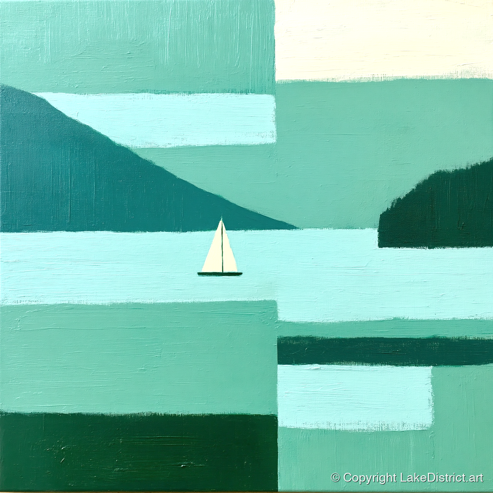
Photo: Matthew Waring on UnsplashIn paintAbstract Green Catbells Fell →
Heather in flower on Catbells above Derwentwater
June to August

Summer

Extra boats every fifteen minutes from mid-July, the longest light for sunrise climbs, and heather on the ridge by August. Parking is at its worst: come by boat or bus.

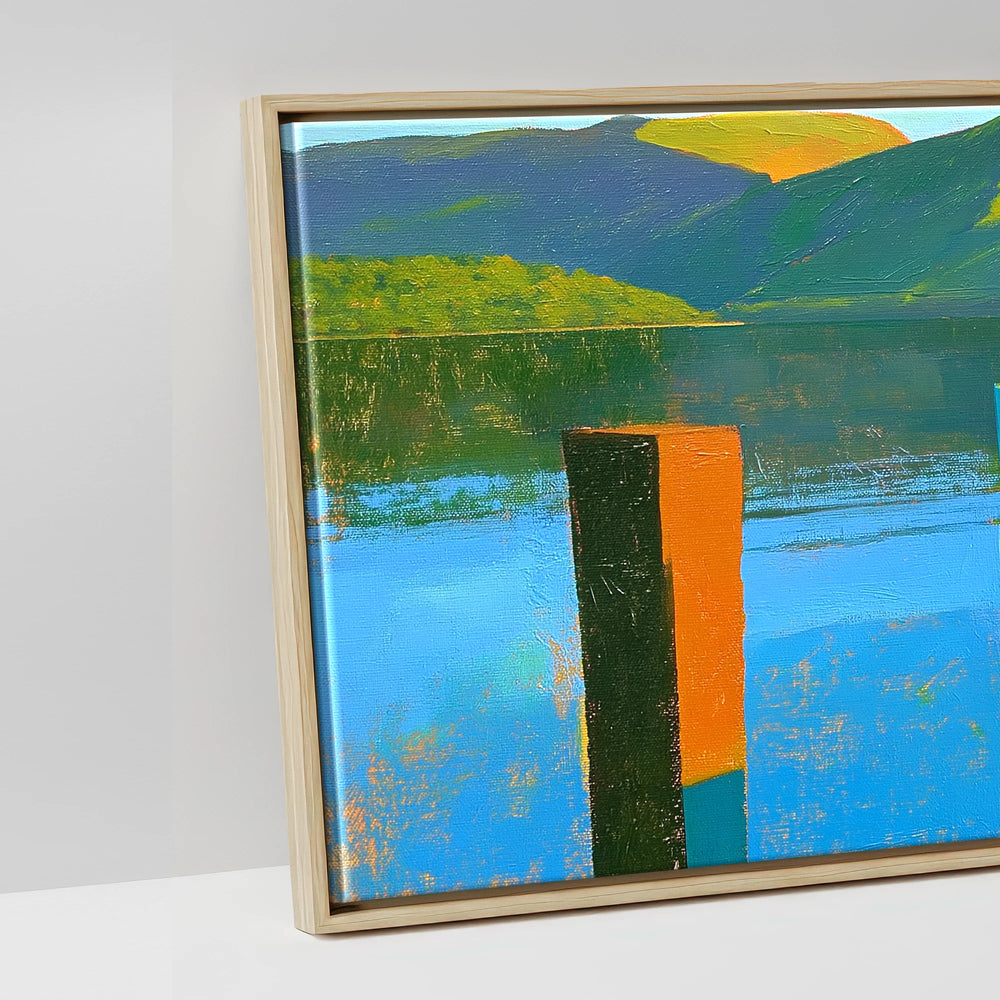
Photo: Abide Studios on UnsplashIn paintCatbells Ridge Over Golden Water →
Autumn trees below Catbells
September to November

Autumn

The bracken turns rust and the Brandelhow oaks colour up. The full boat timetable runs to 8 November, and the Honister Rambler bus stops after 1 November.

Photo: Mike Harris, CC BY-SA 2.0In paintSunlit Bracken on Catbells Ridge →
Derwentwater and Catbells in the snow
December to February

Winter

Snow on the tops and the clearest air of the year, but no boats at all in December and January, and the rock steps are treacherous in ice. Check the mountain forecast first.

Photo: Rosie KL, CC BY-SA 2.0In paintCatbells — Winter Railway Travel Poster →

What's on

Sun 18 Oct 2026Borrowdale Shepherds' MeetA traditional meet at Yew Tree Farm, Rosthwaite, a few miles up the valley.
18–21 Mar 2027Keswick Film FestivalThe 27th festival, in the town across the lake.
SpringLakeland Festival of LightThousands climb Catbells in the dark carrying lights, for charity. Last held on 4 April 2026; the 2027 date is not yet set.
21–23 May 2027Keswick Mountain FestivalTalks, races and gear at Crow Park. It raises money for the National Trust's work on Catbells.
Early AugustBorrowdale Fell RaceA classic fell race from Rosthwaite (1 August in 2026). It doesn't go over Catbells.
August bank holidayKeswick ShowThe agricultural show near Braithwaite, with the Cumbrian sheepdog trial championships.

Catbells in numbers

Facts about the fell

451 mthe summit1,481 ft in Wainwright's book
No. 189of Wainwright's 214 by heightBook Six, The North Western Fells, 1964
Wild catsprobably in the name'the bell-shaped hill of the wild cats'; locals prefer 'cat bield', a wild cat's den
About 480 millionyears old, the rockthe Skiddaw Group, laid down by undersea landslides
1893the last lead mine closedYewthwaite, on the Newlands side
1902the National Trust's first Lakeland landBrandelhow, at the foot of the fell
1905Mrs. Tiggy-WinkleBeatrix Potter's washerwoman lives inside Catbells
4thin ITV's Britain's Favourite Walks2018, one place ahead of Scafell Pike
4.6 kmDerwentwater, end to endand up to 22 m deep
1935the Keswick Launch beganLady Derwentwater, built in 1926, still sails
About sixmountain rescues a yearmostly slips on the way down
About eightparking spaces at the startat Gutherscale, says the National Trust

Stories

The fell's stories

Beatrix Potter's picture of Lucie climbing the path to Catbells, 1905
Beatrix Potter. Public domain, via Wikimedia Commons

1901 to 1905

The door into the back of the hill

Beatrix Potter's The Tale of Mrs. Tiggy-Winkle (1905) is set on Catbells. A little girl called Lucie, who lives at a farm called Little-town, climbs a steep path looking for her lost handkerchiefs, "up and up" until she could have dropped a pebble down the farm chimney, and finds a hedgehog washerwoman at home inside the hill.

Lucie was real: Lucie Carr, daughter of the vicar of Newlands, whom Potter met while staying at Lingholm in 1901. The book's last line says the narrator has "seen that door into the back of the hill called Cat Bells". Little Town is on the Newlands side, so that is the side to look.

Read the book at Project Gutenberg
Beatrix Potter's picture of Old Brown's tree on Owl Island, from Squirrel Nutkin
Beatrix Potter. Public domain, via Wikimedia Commons

Summers, 1885 to 1907

The Potters at Lingholm

For many summers the Potter family took a house on the west shore of Derwentwater, at Lingholm and for one summer at Fawe Park next door. Beatrix sketched the woods, the fells and the lake, and the books followed.

In The Tale of Squirrel Nutkin (1903) the red squirrels paddle on rafts of twigs to Owl Island, which is St Herbert's Island in the middle of the lake. The Fawe Park kitchen garden became the garden in Benjamin Bunny. Red squirrels still live in the Lingholm woods, and the walled garden is now a café.

Where to eat at Lingholm
Thomas Hearne's drawing of Brandelow Wood on Derwent Water, looking towards Borrowdale
Rijksmuseum. CC0, via Wikimedia Commons

16 October 1902

The National Trust's first Lakeland land

In 1902 the Brandelhow estate, the woods and shore at the foot of Catbells, was offered to the young National Trust for £6,500. Canon Rawnsley and Octavia Hill raised the money by public appeal in about six months, with gifts from Princess Louise and from factory workers in the Midlands.

Princess Louise opened it on 16 October 1902, and four oaks were planted that day. It was the Trust's first property in the Lake District. Its centenary is marked by a pair of carved wooden hands by the shore. The drawing above, by Thomas Hearne, shows the same wood more than a century earlier.

The easy walk through Brandelhow
The memorial tablet to Thomas Arthur Leonard on Skelgill Bank
Photo: Steve Partridge, CC BY-SA 2.0

1864 to 1948

The tablet on Skelgill Bank

Halfway up the first rock step there is a slate tablet that most people climb past. It remembers Thomas Arthur Leonard, a Congregational minister who in 1891 took a group of young men from his chapel on a walking holiday, and went on to found the Co-operative Holidays Association and the Holiday Fellowship, now HF Holidays. He became the first President of the Ramblers.

Catbells was his favourite fell. The tablet calls him "father of the open-air movement in this country", and ends with Wordsworth's line about "joy in widest commonalty spread".

The classic walk passes it
Catbells running down to Derwentwater
Photo: Antiquary, CC BY 4.0

1924 to 1941

Hugh Walpole's paradise

The novelist Sir Hugh Walpole bought Brackenburn, a house on the lower slopes of Catbells above the lake, in 1924 and lived there until he died in 1941. He wrote the Herries Chronicle there, starting with Rogue Herries (1930), and called the place a paradise on Catbells.

He was also a serious art collector who left paintings to the Tate and the Fitzwilliam. A stone seat on the fellside looks down on the house, put there in his memory by his friend Harold Cheevers. The house is private.

An illustration from Beatrix Potter's The Tale of Mrs. Tiggy-Winkle, 1905
Beatrix Potter. Public domain, via Wikimedia Commons

1540s to 1893

Lead in the hill

Three lead mines worked Catbells. On the lake side the Brandlehow mine fought water, at up to 150 gallons a minute, until it was abandoned in 1891. On the Newlands side, Yewthwaite closed in 1893; its spoil heaps and blocked levels are still there.

Potter's little door into the hill was drawn from the doors used to close old mine levels in these fells. Over the ridge, German miners began working Goldscope in earnest in 1564 and called it Gottesgab, God's gift: the name wore down to Goldscope, and there was never any gold.

Catbells across Derwentwater from Friar's Crag
Photo: Chris Denny, CC BY-SA 2.0

The view of Catbells

Friar's Crag

The view that sends people up Catbells is the one from Friar's Crag, the little headland ten minutes from Keswick. John Ruskin's earliest memory was of being taken there by his nurse, and he is said to have ranked the view among the three or four most beautiful in Europe.

A memorial to Ruskin stands on the crag, and the National Trust bought it in memory of Canon Rawnsley. Arthur Ransome made it a lookout in Swallows and Amazons.

The step-free path to Friar's Crag
Path repair below Skelgill Bank
Photo: Christine Johnstone, CC BY-SA 2.0

A real mountain, in miniature

Looking after the path

Keswick Mountain Festival calls Catbells the busiest hill in the North Lakes, and the boots wear the path away. Fix the Fells, the partnership that repairs Lakeland's paths, has rebuilt it in stages (one stretch below the summit was part-funded by HF Holidays, Leonard's old company), and in 2026 rangers and volunteers are working near the summit, where walkers spread out and the ground is wearing away.

Keswick Mountain Rescue is called to Catbells about six times a year, usually for a slip on the way down. The advice is simple: good shoes, take the descent slowly, and keep to the main path.

Fix the Fells' 2026 programme

Catbells in art

Painted for nearly two hundred and fifty years

Derwentwater was painted long before anyone climbed Catbells for fun: Joseph Farington was drawing it in 1780. William James Blacklock is the only painter we found who put the fell in the title of his picture.

William James Blacklock's painting of Catbells and Causey Pike across Derwentwater
Catbells and Causey Pike, Derwentwater William James Blacklock, 1854. Tullie, CarlisleThe spire of St John's, Keswick, is on the right.
Joseph Farington's drawing of Skiddaw and Derwentwater
View of Skiddaw and Derwentwater Joseph Farington, 1780. Yale Center for British Art
Joseph Wright of Derby's painting of Derwent Water with Skiddaw in the distance
Derwent Water, with Skiddaw in the Distance Joseph Wright of Derby, about 1795–96. Yale Center for British Art
Edward Lear's drawing of Derwentwater
Derwentwater Edward Lear, about 1836. Yale Center for British Art
A coloured photochrom print of Derwentwater from Friar's Crag around 1900
Derwentwater, Keswick, from Friars' Crag Photochrom print, about 1890–1900. Library of Congress
Alfred Heaton Cooper's watercolour of Derwentwater from Castle Head
Derwentwater, from Castle Head Alfred Heaton Cooper, about 1905. from The English Lakes

And today

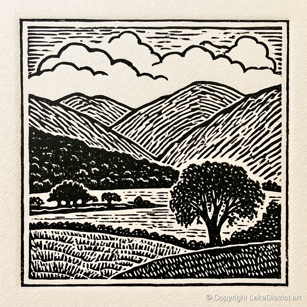
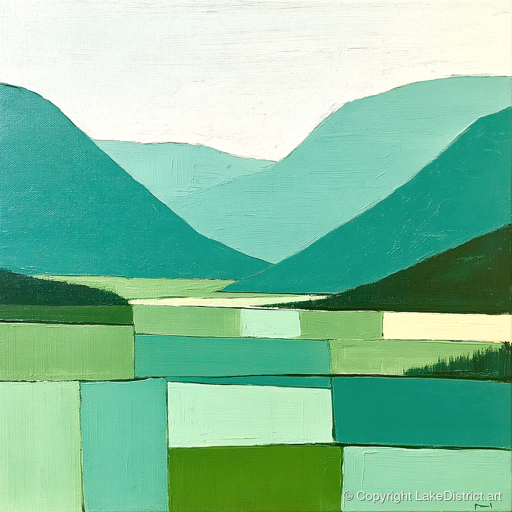
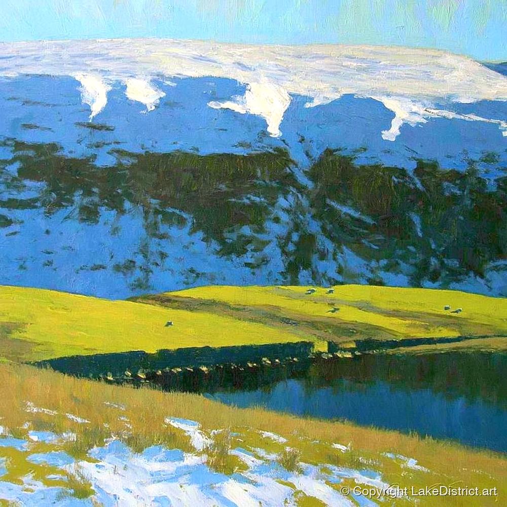
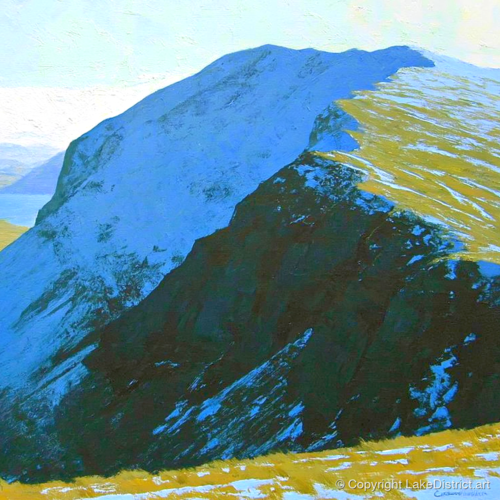
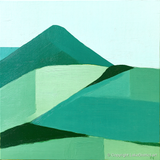
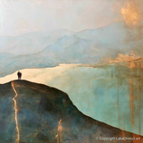
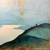
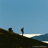
Catbells, painted by our artists

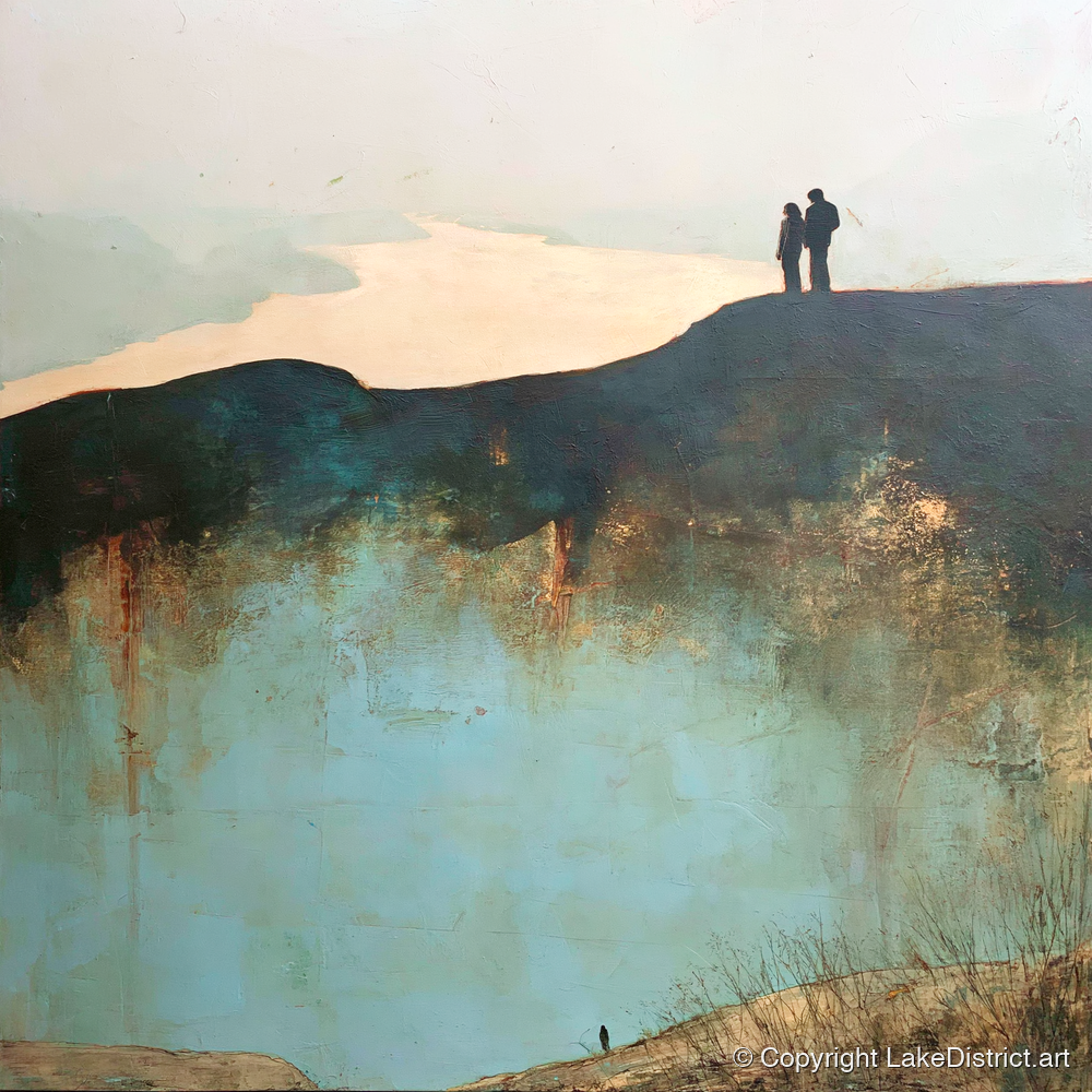
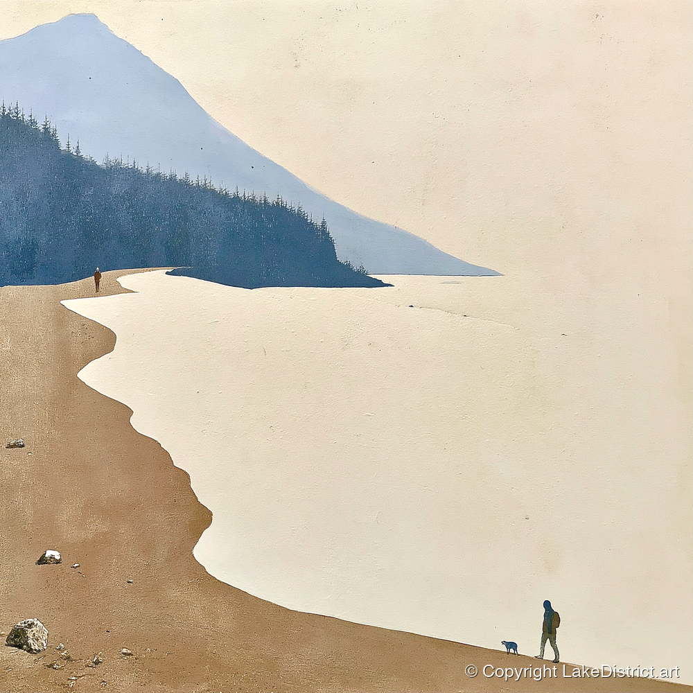
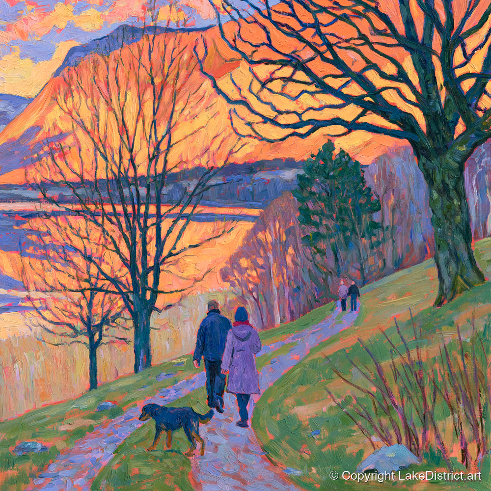
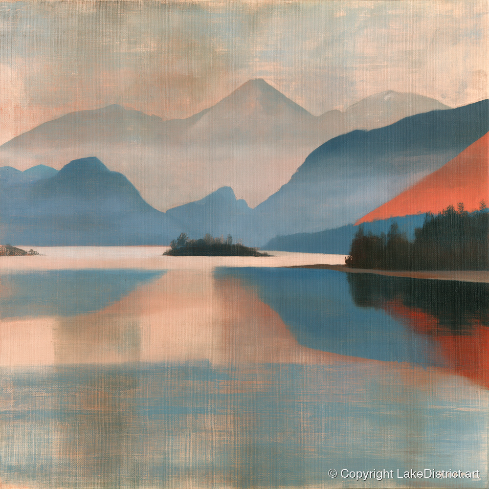
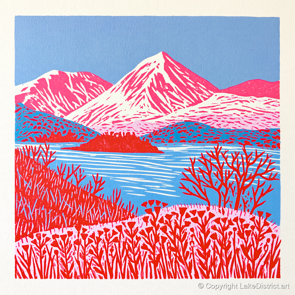
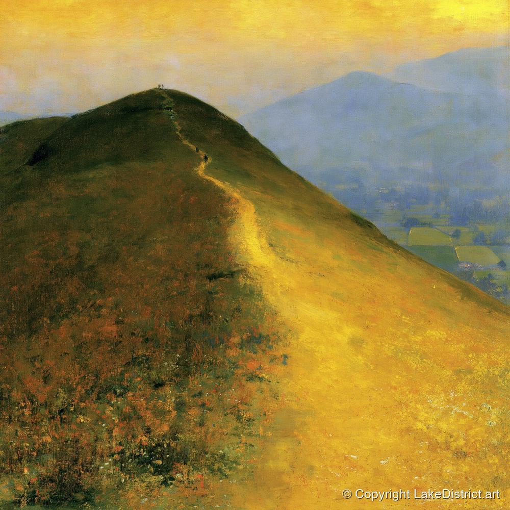
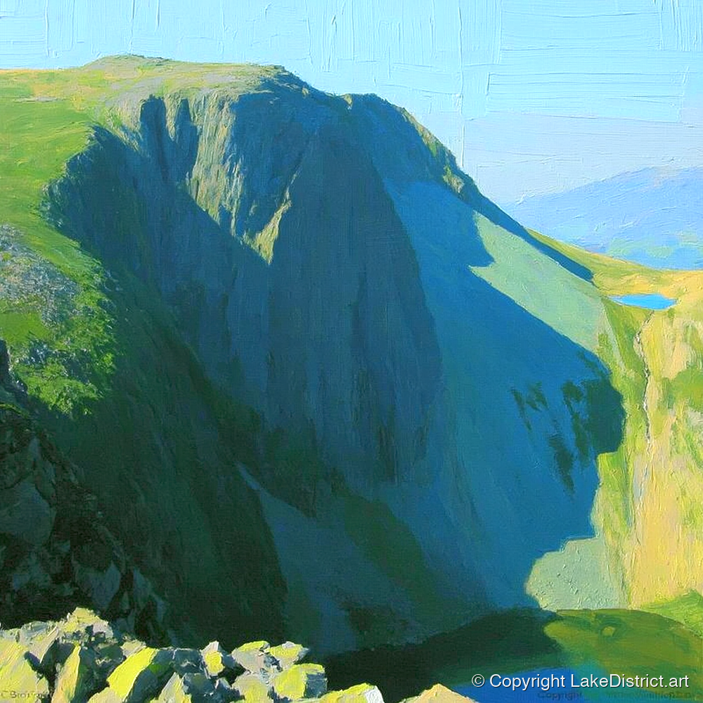
Our AI artists keep coming back to the same few things: the ridge path, walkers against the sky, the fell above the lake in every light. These are artists' impressions of the place, each in its own style, printed to order as canvases, prints and posters.

See everything from Catbells

Photographs

The real thing

Catbells ridge from the air at sunrise above Derwentwater
The ridge at sunrise, from the airPhoto: Jonny Gios on Unsplash
A walker on the summit rocks of Catbells at sunrise
The summit at first lightPhoto: Jonny Gios on Unsplash
Walkers on Skelgill Bank with Catbells beyond
Walkers on Skelgill Bank, the summit behindPhoto: Gareth James, CC BY-SA 2.0
The winding path along the green ridge of Catbells
The path along the ridgePhoto: lastmayday on Unsplash
A Keswick Launch boat at the Hawes End jetty
The launch at Hawes EndPhoto: Gareth James, CC BY-SA 2.0
The view from Catbells over Derwentwater to Keswick and Blencathra
From the top: Keswick and BlencathraPhoto: James Qualtrough on Unsplash
Catbells reflected in still Derwentwater
Catbells doubled in still waterPhoto: Fionafells, CC BY-SA 4.0
Keswick Launch boats at the landing stages on Derwentwater
The boats at KeswickPhoto: Julian Herzog, CC BY-SA 4.0
Sunrise over Derwentwater from Catbells
Sunrise over the lakePhoto: Mark mc neill on Unsplash

Second opinions

What others say

a pocket Lake District
Sian Anna Lewis, BBC Countryfile, 2025
Possibly England's finest mini mountain
The Outdoor Guide
The rather smaller Cat Bells came in at number four and we're not surprised.
WalkLakes, on ITV's Britain's Favourite Walks, 2018
one of the best panoramic views in the Lake District
Lonely Planet
perfect for old legs, little legs and the four-legged alike
BBC Countryfile
Catbells is a true Lake District classic
Millets, ranking it second of the UK's dog-friendly walks, 2026
sensational panoramic views over Keswick, Derwent Water and Borrowdale
Keswick Tourism Association
a family fell
Alfred Wainwright, The North Western Fells, 1964

What visitors say, again and again

A view out of all proportion

Lake, town, Skiddaw, Blencathra and two valleys, from a hill you can climb before lunch.

Parking is the hard part

Full lay-bys, tickets on the verges. The boat comes up again and again as the fix.

Harder than 'family fell' suggests

The rock steps surprise people, especially in the wet or with a fear of heights.

Busy at weekends

Queues at the scramble on fine days and in the holidays. At half past eight it can be almost empty.

The boat makes the day

Children love it, dogs go free, and you can walk one way and sail back.

Carry on to Maiden Moor

The crowd thins out at once beyond Hause Gate.

Watch first

The best films of Catbells

Lake District Guided Walks: Cat Bells Walking in the Wild · 5 minThe classic route in five minutes: up Skelgill Bank, back along the terrace path.
Great walks: Catbells BMC TV · 4 minThe boat, the woods and the climb, made for families by the British Mountaineering Council.
A detailed guide up Catbells Lost In the Lakes · 25 minStops at each rock step to show the hand-holds. Watch this if you're nervous.
Cat Bells inversion Michael Lazenby · 1½ minCloud filling the valley around the fell, filmed by a landscape photographer.
The complete Cat Bells walk, lakeside to summit Dave's Walks · 1 h 41The whole walk in real time, no talking.
Julia Bradbury follows the Wainwright Walks on Catbells The Outdoor Guide · 2 minA clip from the BBC series, on her own channel.
Catbells, Maiden Moor and High Spy Abbie Barnes · 24 minThe ridge walk, beautifully filmed.
Repairing Cat Bells footpath National Trust · 2 minRangers rebuilding the eroded path.
Derwentwater: the view from Catbells Peter Woolley · 8 minAn artist paints the view from the top.

Commissions

Your own Catbells

A memory of your own climb: the people, the dog, the weather, the view from the top. Send a photograph or just tell us about it, and one of our artists will paint it in the style you choose.

Tell us your memory

New from Catbells

Hear when there is new Catbells art

New paintings, posters and prints of Catbells and Derwentwater are added all the time. Leave your email and we'll tell you when they arrive.

Unsubscribe any time.

Questions

How long does it take to walk up Catbells?

Most people take 2½ to 3½ hours for the round trip from Hawes End with stops. Our line for the classic circuit, back by the lake shore, is 7.1 km (4.4 miles) with about 440 m of climb.

How hard is Catbells?

Short and steep, with two short rock steps where you use your hands, one on Skelgill Bank and one below the summit. They are not technical but the rock is polished and slippery when wet. Most children from about five manage it with help; it is not for anyone with a real fear of heights.

Where do you park for Catbells?

There is no car park. The Gutherscale lay-by holds about eight cars and fills very early, and the verges are ticketed. The easiest way is to park in Keswick (Lakeside, or Park and Sail at the Rugby Club) and take the Keswick Launch to Hawes End.

How do you get to Catbells by boat?

The Keswick Launch sails from the boat landings in Keswick to Hawes End in about ten minutes, with a direct walkers' boat at 09:45 in the summer timetable. Come back from Hawes End or High Brandelhow. There are no boats in December and January.

Is there a bus to Catbells?

From late March to 1 November the 77 and 77A Honister Rambler stop at the Hawes End cattle grid and Brandelhow Park. The 78 runs to Grange, at the south end of the ridge, all year.

Are there toilets or a café at Catbells?

No. The nearest toilets are at the Keswick boat landings, Lakeside car park and Grange Bridge. The nearest café is the Lingholm Kitchen, about fifteen minutes' walk from Hawes End.

Can I take my dog up Catbells?

Yes: dogs travel free on the launch. Keep them on a lead near sheep and on open land from 1 March to 31 July, and help them on the rock steps.

Is it Catbells or Cat Bells?

Both. Ordnance Survey maps say Cat Bells; Wainwright, the National Trust and most guides write Catbells. The name probably means the bell-shaped hill of the wild cats.

Where is Mrs Tiggy-winkle's door?

In Beatrix Potter's story it is a little door into the back of the hill, reached by the path up from Little Town in the Newlands valley. Potter drew it from the doors that closed old mine levels. We couldn't find any record of a real door you can visit.

Where do the paintings on this page come from?

They are by our AI artists: their impressions of Catbells and Derwentwater, each in its own style, printed to order as canvases, prints and posters. The historic pictures are by Blacklock, Farington and others, and are in the public domain.

Sources

Where this guide comes from

How we made this guide. We are an art shop, not a walking authority, and we have not walked every route on this page. We read the guides we link to, compared them and summarised them in our own words, and we drew the maps and height profiles ourselves from OpenStreetMap paths and Environment Agency survey data, so our distances and climbs differ a little from theirs.

Everything was checked in early October 2026. Boat and bus times, car park charges and opening hours change, so check with the source before you rely on them. The rock steps are serious in wet or ice: wear proper shoes, and turn back when you should.

Maps: relief from Environment Agency LIDAR (Open Government Licence); paths, roads, water and car parks © OpenStreetMap contributors (ODbL). Photographs and pictures: Diliff (CC BY-SA 3.0, source); Nicholas Beel (Unsplash Licence, source); Chris Denny (CC BY-SA 2.0, source); Beatrix Potter (Public domain, source); Beatrix Potter (Public domain, source); Beatrix Potter (Public domain, source); Rijksmuseum (CC0, source); Steve Partridge (CC BY-SA 2.0, source); Antiquary (CC BY 4.0, source); Christine Johnstone (CC BY-SA 2.0, source); Matthew Waring (Unsplash Licence, source); Abide Studios (Unsplash Licence, source); Mike Harris (CC BY-SA 2.0, source); Rosie KL (CC BY-SA 2.0, source); William James Blacklock (Public domain, source); Joseph Farington (CC0, source); Joseph Wright of Derby (Public domain, source); Edward Lear (Public domain, source); Alfred Heaton Cooper (Public domain, source); Photochrom Print Collection (Public domain, source); Jonny Gios (Unsplash Licence, source); Jonny Gios (Unsplash Licence, source); Gareth James (CC BY-SA 2.0, source); lastmayday (Unsplash Licence, source); Gareth James (CC BY-SA 2.0, source); James Qualtrough (Unsplash Licence, source); Fionafells (CC BY-SA 4.0, source); Julian Herzog (CC BY-SA 4.0, source); Mark mc neill (Unsplash Licence, source). Screenshots of other websites are shown to review and link to them. Beatrix Potter's illustrations are reproduced from the 1903 and 1905 first editions, which are in the public domain.

From CatbellsArt of the fell and the lake
Sunlit Bracken on Catbells RidgeFrom £59.99 Vibrant Red Catbells LandscapeFrom £59.99 Catbells in Cobalt BlueFrom £59.99 Misty Shoreline Walk with DogFrom £59.99 Catbells Ridge Over Golden WaterFrom £59.99 Abstract Green Catbells FellFrom £59.99 Catbells Ridge in Golden LightFrom £59.99 Silhouetted Walkers on Catbells RidgeFrom £59.99 Catbells Walkers Against Vast SkyFrom £59.99 Vibrant Catbells Ridge PathFrom £59.99 Derwentwater Sunset Over CatbellsFrom £59.99 Catbells Walkers in Golden LightFrom £59.99 Silhouetted Walkers on CatbellsFrom £59.99 Terracotta Ridge on Cat BellsFrom £59.99 Silhouetted Walkers on CatbellsFrom £59.99 Catbells and Derwentwater in TerracottaFrom £59.99 Cat Bells in Bold ColourFrom £59.99 Winding Path Up CatbellsFrom £59.99 Catbells in Terracotta and NavyFrom £59.99 Vibrant Cat Bells PathFrom £59.99 Cat Bells Pale Ridge PathFrom £59.99 Derwentwater and Catbells in Pink LightFrom £59.99 Terracotta Sunset Over DerwentwaterFrom £59.99 Vibrant Cat Bells PeakFrom £59.99 Sunlit Cat Bells Over WaterFrom £59.99 Colourful Cat Bells Above DerwentwaterFrom £59.99 Walkers on Catbells RidgeFrom £59.99 Geometric Cat Bells Mountain PathFrom £59.99 Glowing Path on Catbells RidgeFrom £59.99 Catbells Walkers in Amber LightFrom £59.99