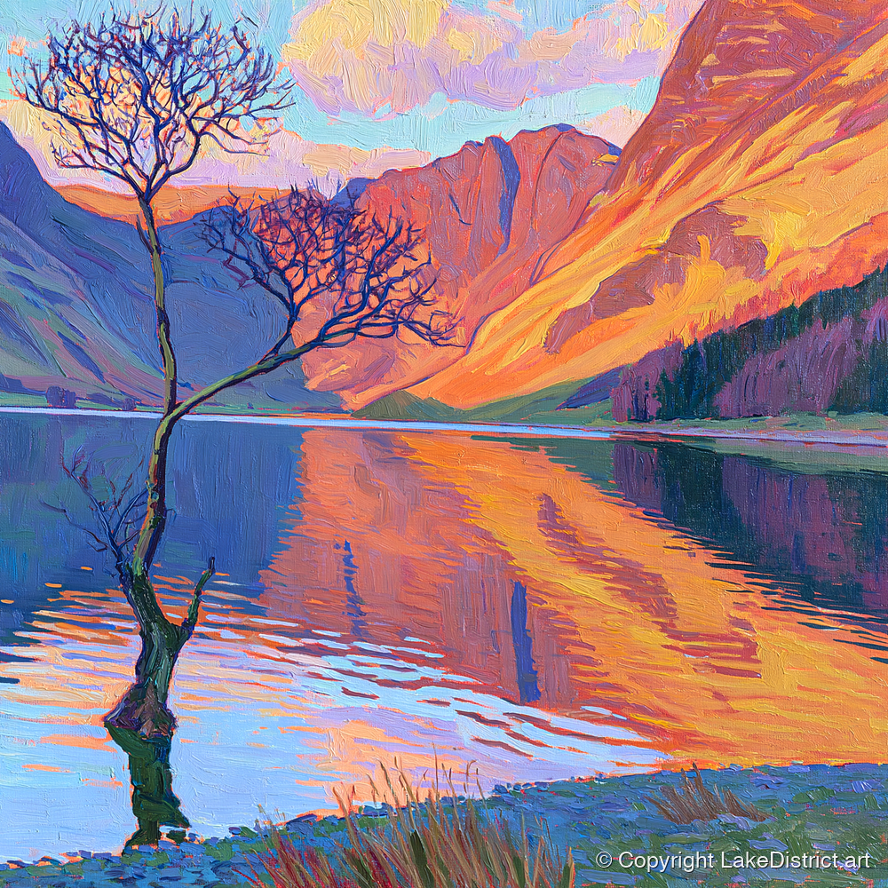
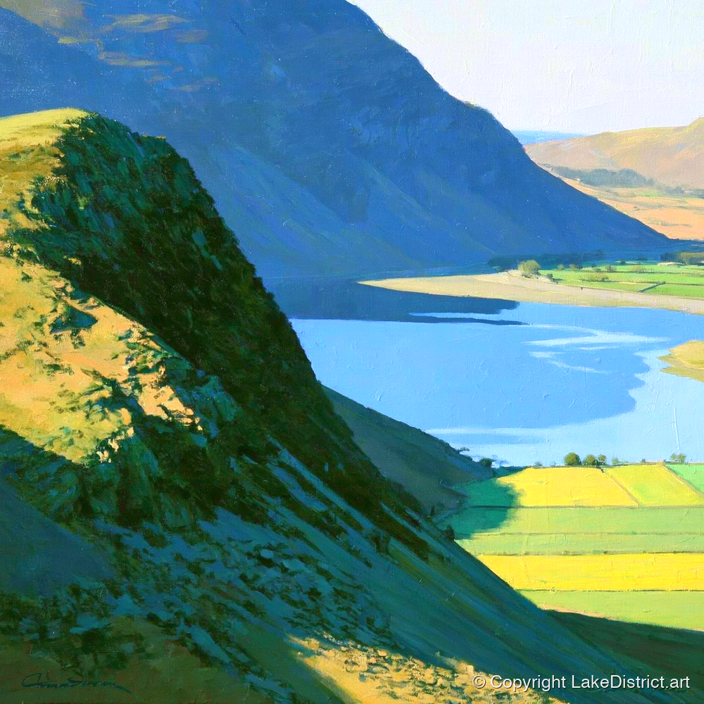
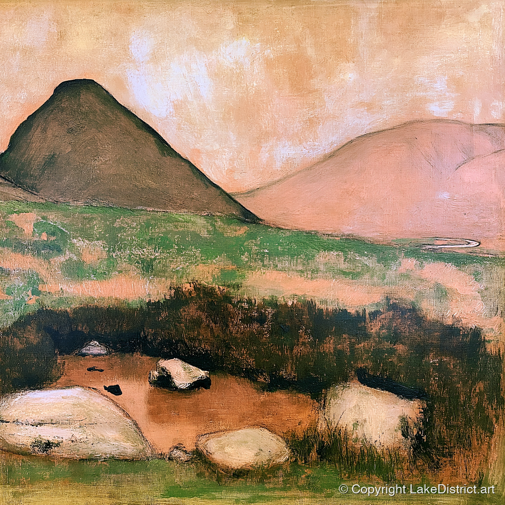
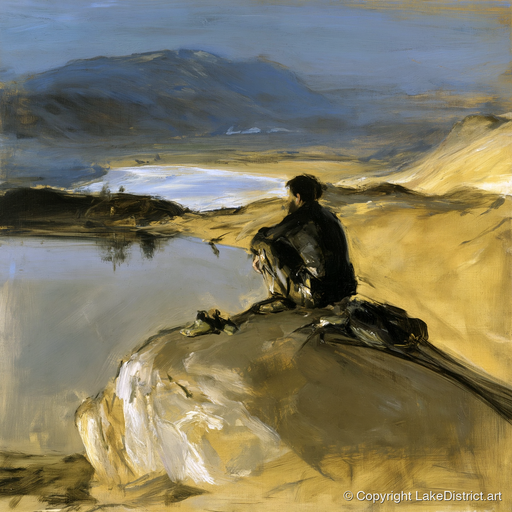
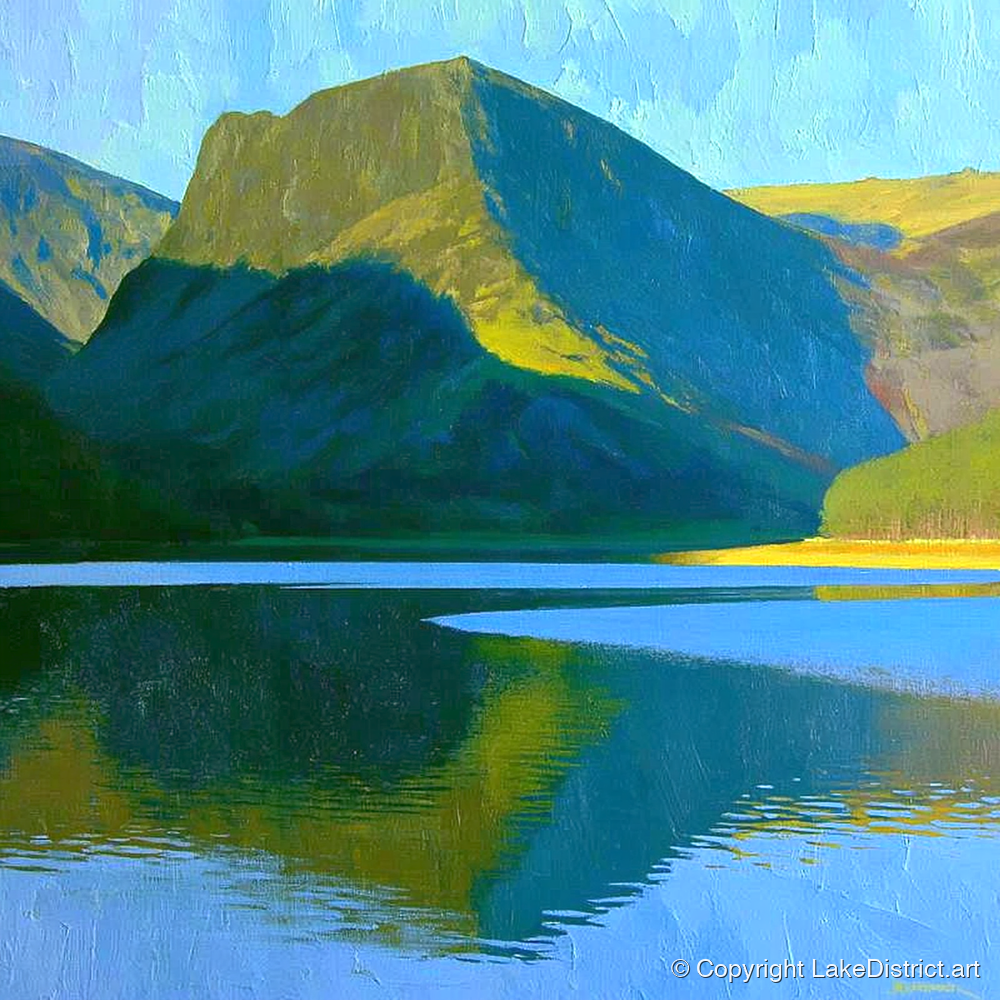
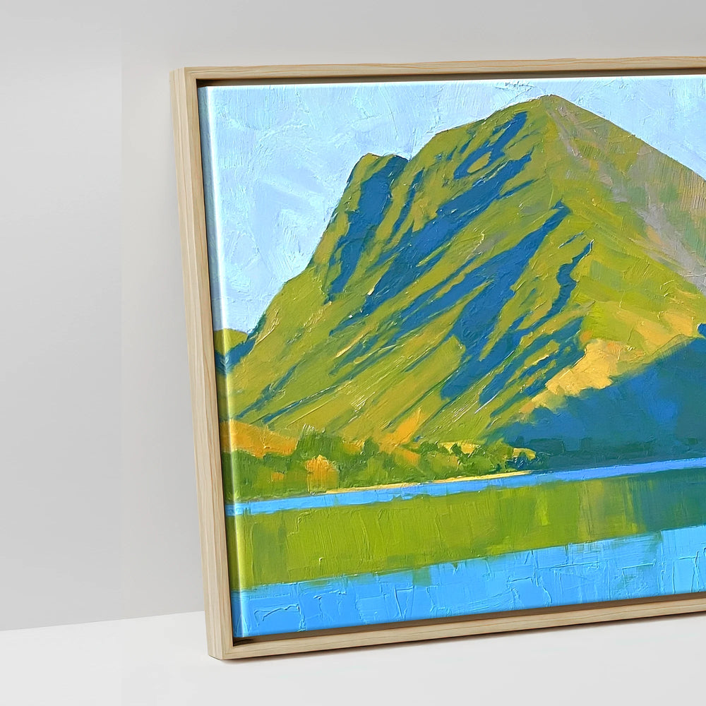
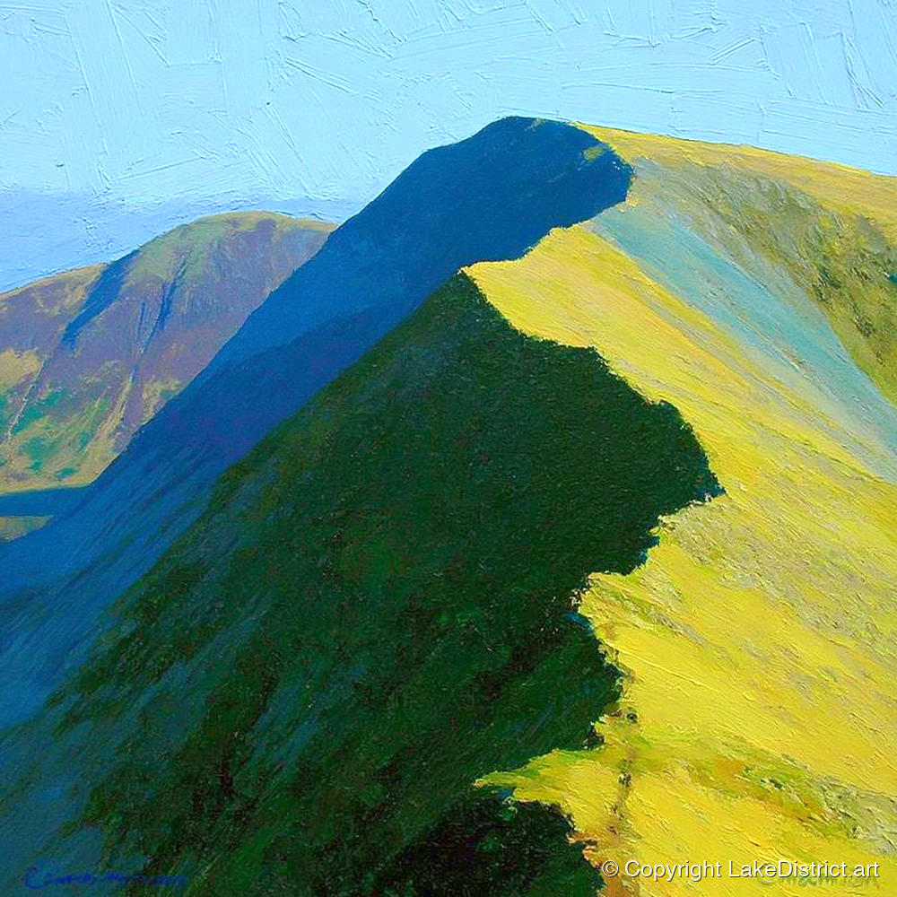
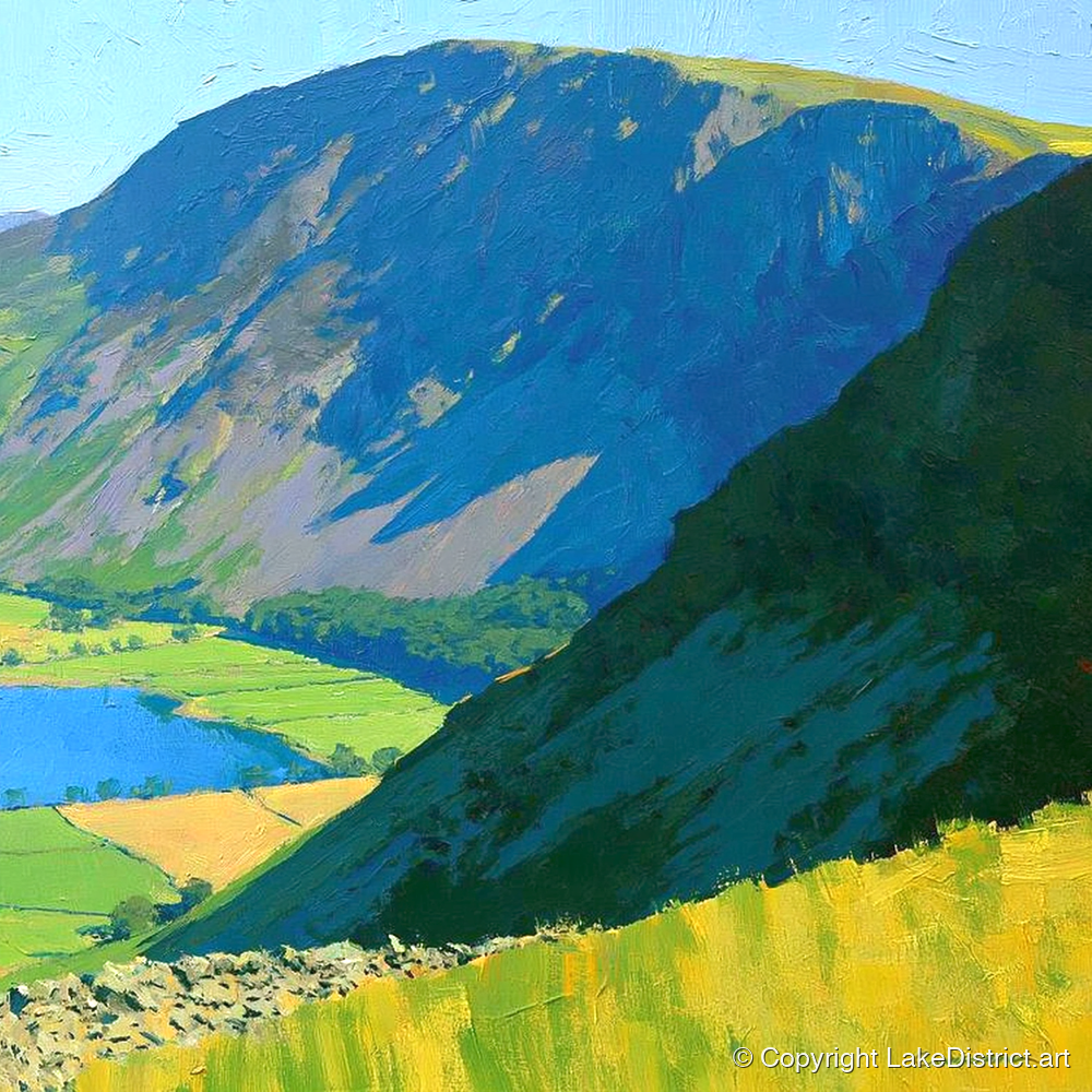
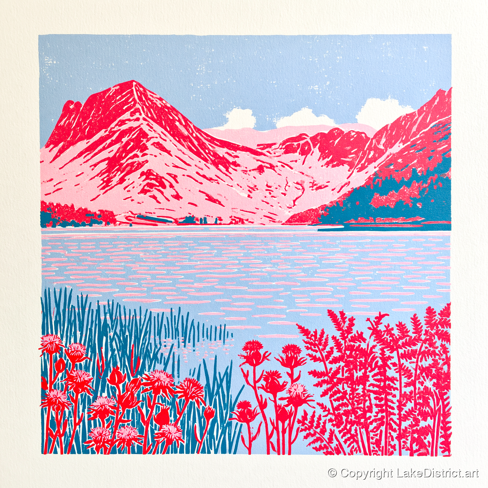
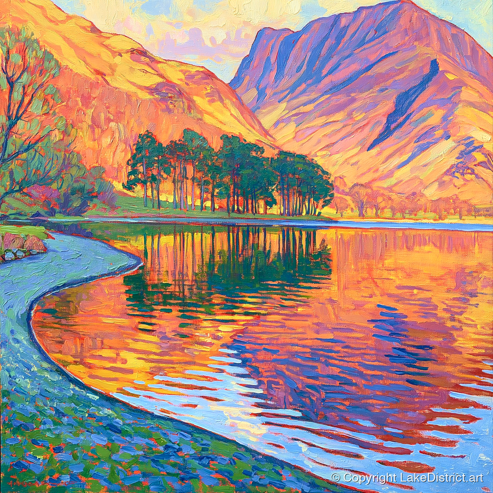
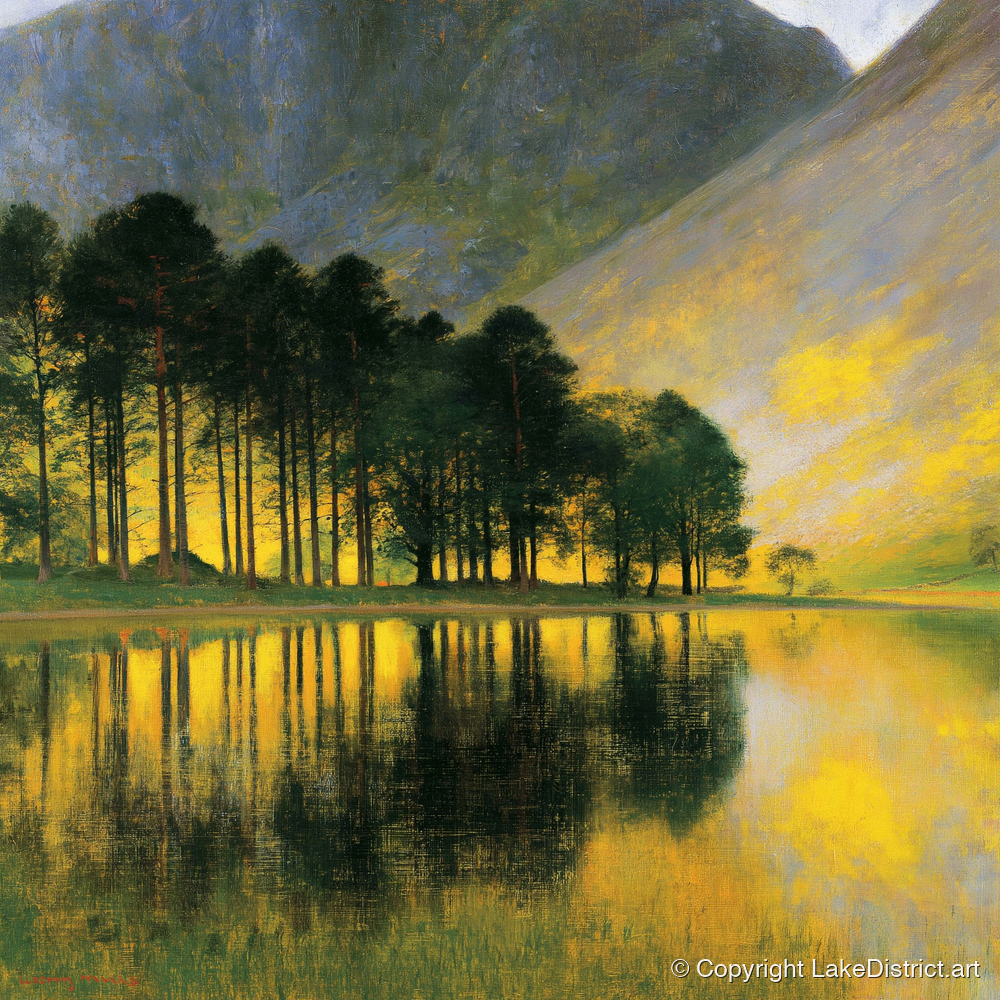
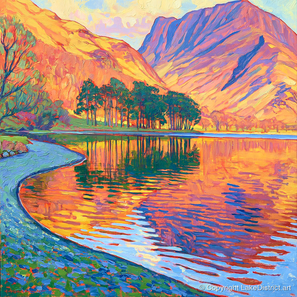
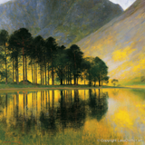
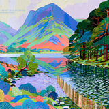
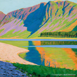
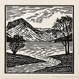
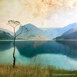
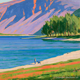
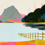
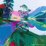
Fleetwith Pike and the Buttermere pines reflected in the still lake

The Lake District · Visitor guide

Visiting Buttermere

The walks, from the flat path round the lake to Haystacks and the High Stile ridge, compared and linked to the best guides. Where to park, eat and stay, how to come without a car, and the stories behind the valley.

Checked October 2026

Photo: Sean Ferigan on UnsplashPhoto: Julian Herzog, CC BY 4.0

Buttermere in a minute

The short answers

The easy walk Round the lake, 7.4 km

Nearly level, 2–3 hours, through a rock tunnel. Good with children and dogs.

The lake circuit →
A first fell Rannerdale Knotts

A short, steep little summit with three lakes below, and bluebells in May.

The walk →
The classic Haystacks

Wainwright's favourite fell, from Gatesgarth, with some hands-on rock near the top.

The walk →
Where to park Bring coins, come early

Car parks from the village to Honister. No verge parking: double yellow lines since 2025.

Car parks →
Without a car The Honister Rambler

Buses 77 and 77A loop from Keswick, daily until 1 November 2026.

Getting here →
Food and drink Two cafés, two inns

Syke Farm's own ice cream is the famous stop. The pubs don't take bookings.

Where to eat →
Facilities Toilets in one place

In the village car park. No shop, no cash machine and very little signal.

Before you go →
On the water Swim, don't sail

Swimming is popular, and cold. Boat permits are suspended for now.

The rules →

The valley on one map

Where everything is

Our map of the valley, drawn from survey data, with every walk on this page and the places worth knowing about. The numbers match the list.

Relief map of the Buttermere valley with nine walking routes in colour and numbered places
Relief: Environment Agency LIDAR. Paths and water: © OpenStreetMap contributors. Heights are Wainwright's, in feet. Not for navigation: carry a proper map on the fells.
  1. 1
    Buttermere village

    Two inns, two cafés, a church and a campsite on the strip of land between the lakes.

  2. 2
    St James' Church

    The tiny church on its rock, with a window that looks out to Haystacks.

  3. 3
    The lone tree

    The most photographed tree in the Lakes, standing in the shallows near the village end.

  4. 4
    Hassness tunnel

    Cut through the crag for a Victorian mill owner; the shore path goes straight through.

  5. 5
    The pines

    The line of Scots pines at the head of the lake, doubled in still water.

  6. 6
    Gatesgarth

    Farm, car park and the start for Haystacks and Fleetwith Pike.

  7. 7
    Fanny Mercer's cross

    A white cross on Fleetwith Edge for a young woman who fell there in 1887.

  8. 8
    Innominate Tarn

    On the top of Haystacks. Wainwright's ashes were scattered here in 1991.

  9. 9
    Bleaberry Tarn

    In its corrie under Red Pike, at the top of Sourmilk Gill.

  10. 10
    Scale Force

    Usually called the Lake District's highest waterfall, in a wooded gorge above Crummock Water.

  11. 11
    Rannerdale bluebells

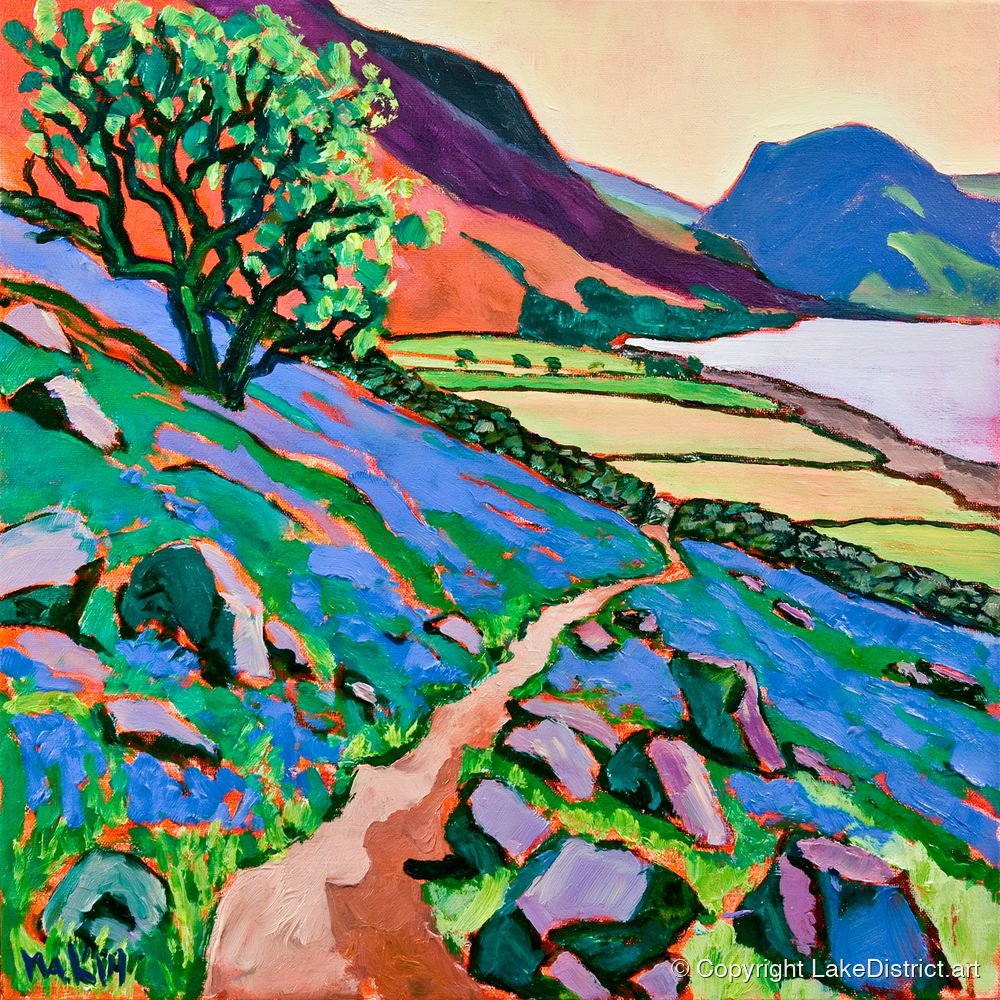
    Bluebells on open fellside, from late April into May.

  12. 12
    Moss Force

    A big fall a short walk from the top of the Newlands road.

  13. 13
    Honister Slate Mine

    Slate mine, café and via ferrata at the top of the pass.

  14. 14
    Lanthwaite Wood beach

    The classic view down Crummock Water, on a level path from the car park.

Which walk?

The walks side by side

Distances and climbs are ours, measured along each route on the map; guides give slightly different figures, depending on where they start. Times are the range the guides give, with stops.

WalkDistanceClimbTimeGradeWainwrightsGood for
Buttermere lake circuit7.4 km / 4.6 mi80 m2–3 hoursEasyNoneFamilies, Dog walkers, Photographers, Cloudy days
Rannerdale Knotts and the bluebell valley6.5 km / 4.0 mi520 m2–3 hoursModerateRannerdale KnottsA first fell, Families, Dog walkers, Photographers
Scale Force6.3 km / 3.9 mi140 m2–2½ hoursEasyNoneFamilies, Dog walkers, Cloudy days
Haystacks from Gatesgarth7.5 km / 4.6 mi540 m3–4 hoursModerateHaystacksFell walkers, Photographers
Fleetwith Pike by Fleetwith Edge6.7 km / 4.2 mi570 m2½–3½ hoursHardFleetwith PikeFell walkers, Photographers
Red Pike, High Stile and High Crag12.4 km / 7.7 mi860 m5–7 hoursHardRed Pike, High Stile, High CragFell walkers, A big day, Photographers
Whiteless Pike, Wandope and Grasmoor12.9 km / 8.0 mi1,110 m5–7 hoursStrenuousWhiteless Pike, Wandope, Eel Crag, GrasmoorFell walkers, A big day
Robinson by High Snockrigg7.4 km / 4.6 mi730 m4–4½ hoursHardRobinsonFell walkers
The Crummock Water circuit14.7 km / 9.1 mi220 m4–5 hoursModerateNoneA big day, Dog walkers, Cloudy days

The walks

Walks from Buttermere, compared

Nine walks, from a level stroll to a full day on the tops. For each we have drawn the route and its height profile, said who it suits, and picked the best guides to it elsewhere on the web, so you can read the directions from people who walk these routes every year.

The easy one

Buttermere lake circuit Easy

7.4 km4.6 miles
80 mof climb
2–3 hourswith stops
122 mhighest point

The walk most people come for, and one of the few lakes you can walk all the way round. A path follows the shore the whole way: through Burtness Wood on the south-west side, past the head of the lake below Haystacks and Fleetwith Pike, then back along the north-east shore and straight through a short tunnel cut in the rock.

It is nearly level, with one short rock step where you may want your hands and a short stretch of road near Gatesgarth. The National Trust suggests going round anticlockwise with children: the woods first, out of the wind, and the tunnel saved for the end.

Good for

FamiliesDog walkersPhotographersCloudy days

On the way

  • The lone tree in the shallows near the village end
  • The Scots pines at the head of the lake
  • Sourmilk Gill falling out of Burtness Wood
  • Hassness tunnel (a torch helps; puddles are normal)
  • The view down the lake to Fleetwith Pike on a still morning

1 April to 30 June: a short stretch of shore path at the village end closes so common sandpipers can nest. You can still go round, but choose your direction before you set off.

Not suitable for pushchairs or wheelchairs all the way round: see the step-free routes below.

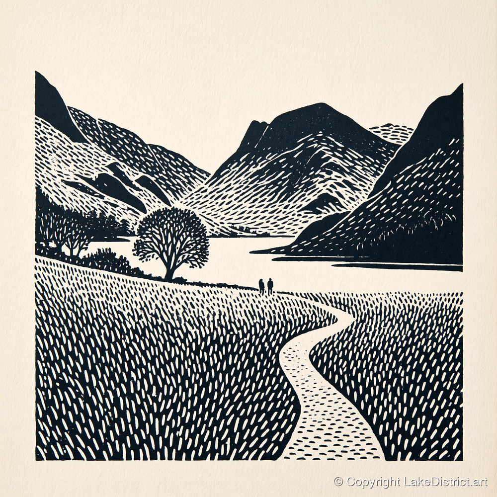
Painted on this walk
Map of Buttermere lake circuit, starting from Buttermere village
Height profile of Buttermere lake circuit
Starts at Buttermere village. Our line, measured on OpenStreetMap paths with Environment Agency survey heights. Not for navigation.

A first fell

Rannerdale Knotts and the bluebell valley Moderate

6.5 km4.0 miles
520 mof climb
2–3 hourswith stops
352 mhighest point

Rannerdale Knotts is the smallest fell around the lake, but it feels like a real summit: a knobbly ridge with Buttermere, Crummock Water and Loweswater below. Our line climbs the ridge from the village, drops to the Crummock shore, then comes home up the quiet side valley of Rannerdale, which turns blue with bluebells from late April into May.

It is short but steep. Expect a rock staircase, one slightly awkward gully on the summit ridge and a stone-pitched descent that is slippery in the wet. The National Trust's shorter version skips the valley and stays under five kilometres.

Good for

A first fellFamiliesDog walkersPhotographers

On the way

  • Three lakes from one small summit
  • The Rannerdale bluebells, on open fellside rather than in woodland
  • Herdwick sheep on the slopes
  • Hause Point, the crag above Crummock Water

In bluebell time, stay on the paths. The rangers estimate every step off the path crushes seven to ten plants, and crushed bluebells take years to recover.

Painted on this walk

Map of Rannerdale Knotts and the bluebell valley, starting from Buttermere village
Height profile of Rannerdale Knotts and the bluebell valley
Starts at Buttermere village. Our line, measured on OpenStreetMap paths with Environment Agency survey heights. Not for navigation.

A waterfall

Scale Force Easy

6.3 km3.9 miles
140 mof climb
2–2½ hourswith stops
205 mhighest point

Scale Force is usually called the highest waterfall in the Lake District: a single long drop of about 52 metres into a narrow, tree-hung gorge above Crummock Water. The walk there and back is low and easy to follow, over Scale Bridge and along the lake, then up beside Scale Beck.

It is wet underfoot at the best of times, with stepping stones, bog and loose stony ground near the bridges, so wear boots. It is at its best after rain.

Good for

FamiliesDog walkersCloudy days

On the way

  • The lower fall from the footbridge
  • Crummock Water from its quiet western shore
  • Buttermere Dubs, the short river between the lakes
  • Mellbreak rising above the path

The National Trust advises against scrambling up to the upper fall: it means climbing a big boulder that is usually slimy with moss. Listen to the roar from the footbridge instead.

Painted on this walk

Map of Scale Force, starting from Buttermere village
Height profile of Scale Force
Starts at Buttermere village. Our line, measured on OpenStreetMap paths with Environment Agency survey heights. Not for navigation.

Wainwright's favourite

Haystacks from Gatesgarth Moderate

7.5 km4.6 miles
540 mof climb
3–4 hourswith stops
596 mhighest point

The classic short way up the fell Alfred Wainwright loved most. From Gatesgarth you cross Peggy's Bridge, climb a pitched path to Scarth Gap, then scramble up rocky steps onto a summit that is a maze of knolls and little tarns. Wainwright called it the best fell-top of all, and asked for his ashes to be scattered beside Innominate Tarn.

The way down follows an old quarry path past Blackbeck Tarn and down Warnscale, with the whole valley ahead of you. It is short, but you will use your hands, and the top is confusing in mist.

Good for

Fell walkersPhotographers

On the way

  • Scarth Gap, with Pillar and Ennerdale beyond
  • Innominate Tarn, where Wainwright's ashes lie
  • Blackbeck Tarn and the view down Warnscale
  • Buttermere and Crummock Water laid out below

Hands-on rock steps above Scarth Gap, slippery when wet. In poor visibility the summit is easy to get lost on: carry a map and know how to use it.

Painted on this walk

Map of Haystacks from Gatesgarth, starting from Gatesgarth Farm
Height profile of Haystacks from Gatesgarth
Starts at Gatesgarth Farm. Our line, measured on OpenStreetMap paths with Environment Agency survey heights. Not for navigation.

The steep ridge

Fleetwith Pike by Fleetwith Edge Hard

6.7 km4.2 miles
570 mof climb
2½–3½ hourswith stops
647 mhighest point

Fleetwith Pike is the pointed fell at the head of the lake, the one in the background of every postcard. Its west ridge, Fleetwith Edge, climbs straight up from Gatesgarth, past a small white cross, with no flat ground for nearly 600 metres. The reward is the view back down Buttermere and Crummock Water, which some guides call the best in Lakeland.

The usual way down goes past the Honister slate workings and the Dubs bothy, then down Warnscale. Going up the Edge is easier on the knees and nerves than coming down it.

Good for

Fell walkersPhotographers

On the way

  • Fanny Mercer's white cross on the lower ridge
  • The view down the length of both lakes
  • Honister's old slate workings
  • Warnscale and its bothies

Steep grass, loose gravel and rocky steps with some easy scrambling, and crags close to the path. Not for young children, nervous walkers or dogs that struggle on rock.

Painted on this walk

Map of Fleetwith Pike by Fleetwith Edge, starting from Gatesgarth Farm
Height profile of Fleetwith Pike by Fleetwith Edge
Starts at Gatesgarth Farm. Our line, measured on OpenStreetMap paths with Environment Agency survey heights. Not for navigation.

The big ridge

Red Pike, High Stile and High Crag Hard

12.4 km7.7 miles
860 mof climb
5–7 hourswith stops
805 mhighest point

The high wall on the south-west side of the lake, walked end to end. You climb through Burtness Wood beside Sourmilk Gill to Bleaberry Tarn in its corrie, up red scree to Red Pike, then along the ridge over High Stile and High Crag before the steep drop of Gamlin End to Scarth Gap and the lake shore home.

On a clear day the views run into Ennerdale, out to the Solway coast and Scotland, and straight down onto Buttermere. Many walkers add Haystacks on the way down; the full Buttermere Round adds the fells across the valley too.

Good for

Fell walkersA big dayPhotographers

On the way

  • Sourmilk Gill's long cascade
  • Bleaberry Tarn under Chapel Crags
  • Red Pike's red rock, which gives the fell its name
  • High Stile, the top of the ridge at 2,644 ft

The pitched path beside Sourmilk Gill is very steep and slippery when wet, the scree to Red Pike is loose, and the crag edges run close to the path. Keep it for a settled day; in winter it is mountaineering.

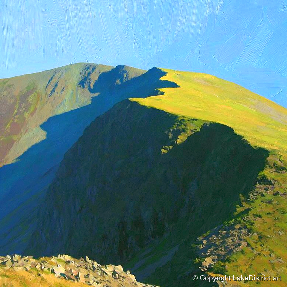
Painted on this walk
Map of Red Pike, High Stile and High Crag, starting from Buttermere village
Height profile of Red Pike, High Stile and High Crag
Starts at Buttermere village. Our line, measured on OpenStreetMap paths with Environment Agency survey heights. Not for navigation.

The high fells

Whiteless Pike, Wandope and Grasmoor Strenuous

12.9 km8.0 miles
1,110 mof climb
5–7 hourswith stops
851 mhighest point

North of the village a path zig-zags steeply up Whiteless Breast to the sharp top of Whiteless Pike, then follows a fine edge to Wandope and up onto the high plateau of Eel Crag and Grasmoor, the highest fell in the area. Our line comes down by Lad Hows to the Crummock shore and back through the Rannerdale valley.

It is quieter than the ridge across the lake, and on a clear day you see the Solway Firth, Scotland and the Isle of Man.

Good for

Fell walkersA big day

On the way

  • Whiteless Edge
  • Grasmoor's summit, the highest hereabouts at 2,791 ft
  • Crummock Water from above
  • Rannerdale's bluebells on the way home in May

The Grasmoor plateau needs a map and compass in mist. Lad Hows is steep, with loose scree where it narrows and deep bracken in summer. Not a walk for beginners or dogs that are not used to fells.
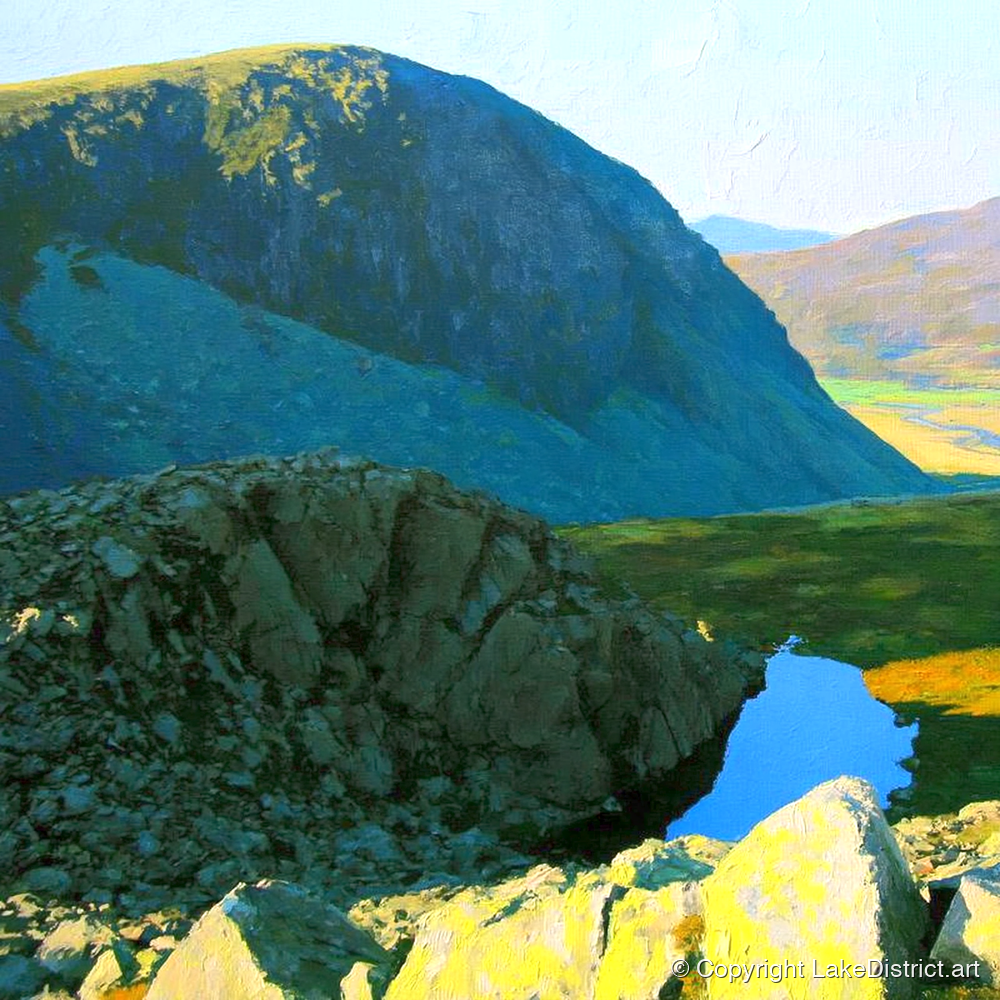
Painted on this walk

Map of Whiteless Pike, Wandope and Grasmoor, starting from Buttermere village
Height profile of Whiteless Pike, Wandope and Grasmoor
Starts at Buttermere village. Our line, measured on OpenStreetMap paths with Environment Agency survey heights. Not for navigation.

The big grassy fell

Robinson by High Snockrigg Hard

7.4 km4.6 miles
730 mof climb
4–4½ hourswith stops
736 mhighest point

Robinson is the broad fell above the village to the north-east. Our line goes up the steep path to High Snockrigg, a fine viewpoint over the lake, crosses the famously wet Buttermere Moss and climbs Robinson's west slope, returning the same way.

Fit walkers can carry on along Littledale Edge to Hindscarth and Dale Head and come back by Honister and the lake shore, a day of about 16 km.

Good for

Fell walkers

On the way

  • High Snockrigg's view down the valley
  • The High Stile ridge across the lake
  • The Newlands valley from the top
  • Moss Force, a short detour from Newlands Hause

Buttermere Moss is wide, spongy and very wet: waterproof boots, and keep it for a dry spell. In ice the Newlands road can close.

Painted on this walk

Map of Robinson by High Snockrigg, starting from Buttermere village
Height profile of Robinson by High Snockrigg
Starts at Buttermere village. Our line, measured on OpenStreetMap paths with Environment Agency survey heights. Not for navigation.

The long low walk

The Crummock Water circuit Moderate

14.7 km9.1 miles
220 mof climb
4–5 hourswith stops
158 mhighest point

Round the bigger, quieter lake next door: out along the western shore under Mellbreak, past the foot of Scale Beck, round the north end through Lanthwaite Wood, and back down the eastern side under Grasmoor and over Hause Point.

It is low-level all the way but rough and boggy in places, and much quieter than Buttermere in the holidays. Lanthwaite Wood holds the classic view down the length of Crummock Water.

Good for

A big dayDog walkersCloudy days

On the way

  • The beach at the foot of Crummock Water
  • Lanthwaite Wood, where red squirrels live
  • Hause Point and Rannerdale
  • Grasmoor's great wall above the eastern shore

Bog on the western side, especially near Scale Beck, and a short climb over Hause Point. In season you can shorten it by catching the Honister Rambler bus.

Painted on this walk

Map of The Crummock Water circuit, starting from Buttermere village
Height profile of The Crummock Water circuit
Starts at Buttermere village. Our line, measured on OpenStreetMap paths with Environment Agency survey heights. Not for navigation.

Short, gentle and step-free

If you want the view without the climb

The National Park grades three routes in the valley for wheelchairs, mobility scooters and pushchairs, and there are a few short walks worth knowing about.

Step-free: Miles without Stiles

Buttermere lakeshore

From the village to the shore on a path graded 'for all' (750 m), then a rougher 'for some' stretch along the south-west shore through Burtness Wood. The National Park currently warns that parts are rough after washouts, so check the page before you go.

Wheelchairs on the first 750 mPushchairsAccessible toilet in the village
Open the route
Step-free: Miles without Stiles

Lanthwaite Wood to Crummock Water

A firm track of about 1.25 km each way from the National Trust car park to the beach at the foot of Crummock Water: one of the best lake views in the valley for the least effort.

Graded 'for some'Benches at the beachNo toilets
Open the route
Step-free: Miles without Stiles

Loweswater and Holme Wood

A level stone track through Holme Wood to the shore of the smallest of the three lakes, extended in 2026. The car park at Maggie's Bridge is tiny and fills fast.

Graded 'for all'WoodlandRed squirrels
Open the route
Short walk

The Valley of Cinders

A one-hour loop of about 2.4 km from Cinderdale Common, with views across Crummock Water to Mellbreak. Grazed fields, so dogs on leads.

EasyAbout an hour
Open the route
Short and steep

Bleaberry Tarn

Up beside Sourmilk Gill to the tarn under Chapel Crags and back: about 5 km and 400 m of climb on a steep, stone-pitched path that is slippery in the wet. Older children only.

SteepAbout 2 hours
Open the route
Haystacks, the easier way

Haystacks from Honister

Start at the top of Honister Pass, already at 356 m, and follow the old quarry tramway past Dubs and Blackbeck Tarn. Much less climbing than from Gatesgarth, though you miss the lake.

Café at the start3–5 hours
Open the route

Parking

Where to park, and how early

Bring coins. The National Trust car parks and Gatesgarth take nothing else. Since July 2025 there are double yellow lines along the road by the lake and over Honister, so verge parking now means a ticket. The National Trust's test is a good one: if you are not sure a fire engine or a tractor and trailer could get past, park somewhere else.

Map of the eight car parks around Buttermere and Crummock Water
Relief: Environment Agency LIDAR. Roads and water: © OpenStreetMap contributors.
  1. 1
    Buttermere village car park

    Behind the Bridge Hotel, beside the Buttermere Court Hotel, with the valley's only public toilets. Coins, cards and RingGo. Fills early on fine days.

  2. 2
    National Trust car park

    A few hundred metres north of the village. £7 up to two hours, £9.50 all day, coins only; members park free. No toilets.

  3. 3
    Gatesgarth Farm

    At the head of the lake, at the foot of Honister: the start for Haystacks and Fleetwith Pike. No facilities. Fills early with walkers.

  4. 4
    Honister Pass

    Two car parks at the top of the pass: the Trust's (members free) and the slate mine's (first hour free, then a day rate). Café, toilets and the high start for Haystacks.

  5. 5
    Newlands Hause

    At the top of the Newlands road, a short walk from Moss Force. Busy at summer weekends; avoid it in ice.

  6. 6
    Cinderdale Common

    On the Crummock shore under Grasmoor, ten minutes from the Rannerdale bluebells. Fills quickly in bluebell time.

  7. 7
    Hause Point

    Under the crag between the road and the lake. Usually full at busy times.

  8. 8
    Lanthwaite Wood

    At the north end of Crummock Water, with a level path to the beach. Steep entrance, no toilets.

Getting here

By road, by bus, by train

From Keswick by Newlands

About 10 miles, the shortest way. Single track with passing places over Newlands Hause (333 m), 1 in 4 in places. Allow 25–35 minutes.

Over Honister Pass

Through Borrowdale and over Honister (356 m, 1 in 4), with a steep drop to Gatesgarth. Allow 35–45 minutes. Think hard first if you are towing or driving a big motorhome.

The gentle way in

Via Whinlatter and Lorton, or from Cockermouth along Crummock Water. It avoids both passes and is the way in when they are icy.

The Honister Rambler, 77 and 77A

A loop from Keswick through Borrowdale, over Honister, through Buttermere and back over Whinlatter, daily from 23 March to 1 November 2026, singles from £3. The main stop is outside the Buttermere Court Hotel. It lets you walk one way and ride back. Route and times.

From Cockermouth, 77C

A weekend and bank holiday shuttle in the summer (2 May to 31 August in 2026), with parking in Cockermouth. National Park page.

By train

Penrith (about 28 miles) or Workington (about 20), then the X4 or X5 bus to Keswick or Cockermouth and the 77 in season.

By bike

The south-west shore path through Burtness Wood is a bridleway. Newlands and Honister are two of the hardest climbs in the Fred Whitton Challenge.

In winter

Both passes can close in ice, and the Rambler stops after 1 November. Come in via Lorton, and check Honister's summit webcam first.

Food and drink

Where to eat and drink

Buttermere has two cafés and two inns, and that is it. Neither inn takes bookings in the bar.

Café · Buttermere village

Croft House Farm Café

The award-winning café at the walkers' end of the village, open all year. Bacon rolls, scones and good coffee, a takeaway window, and the basics you forgot: maps, bread, emergency cagoules. Expect a queue on a fine day.

Open all yearDog friendlyTakeaway
Visit their website
Tea room · Buttermere village

Syke Farm Tearoom

The ice cream is why most people stop. It is made on the farm from its own Ayrshire herd's milk, in flavours like marmalade and apple crumble. Cakes, lunches and a campers' breakfast too.

Farm ice creamDogs welcome
Visit their website
Pub · Buttermere village

The Bridge Inn at the Bridge Hotel

The old coaching inn's walkers' bar: Cumbrian pub food, local ales and a beer garden with fell views. No bookings in the bar, so turn up and wait for a table.

Very dog friendlyNo bookings
Visit their website
Pub and restaurant · Buttermere village

High Stile Kitchen, Buttermere Court Hotel

The bar of the old Fish Inn, where the Maid of Buttermere's father kept the house. All-day food, local ales and a beer garden facing the fells. No reservations.

All dayDogs welcomeNo bookings
Visit their website
Café · top of Honister Pass

Bait Cabin Café, Honister Slate Mine

Soups, cakes and bacon butties with a view down the pass, at the slate mine on the summit. Opens at nine.

Top of the passFrom 9am
Visit their website
Inn · Loweswater

Kirkstile Inn

A classic inn under Mellbreak, with low beams and open fires. Book a table: there are some walk-in places but you may queue. Dogs in the bar at lunchtime, not on weekday evenings.

Book aheadReal ale
Visit their website
Pub · Low Lorton

The Wheatsheaf Inn

A 17th-century village pub on the gentle road in from Cockermouth, with generous home cooking and local ales. Weekdays it serves evenings only.

Dogs in the barEvenings on weekdays
Visit their website
Shop · High Lorton

Lorton Village Shop

'A shed with a view': local produce, bread, coffee and gelato. Buttermere itself has no shop, so this is the nearest place for supplies on the Lorton side.

SuppliesMon–Sat
Visit their website

There is no café at Gatesgarth, Newlands Hause or Cinderdale, so don't count on refreshments at the head of the lake. Opening hours change with the season: check before you rely on them.

Places to stay

Where to stay in and around the valley

Buttermere is tiny: two hotels, a campsite and a few cottages, with more at Loweswater and Lorton. Book early for summer.

Hotel · Buttermere village

The Bridge Hotel

An old coaching inn between the two lakes, with rooms (some with four-posters or balconies) and self-catering apartments. Dogs welcome in the standard rooms.

HotelDogs welcome
Visit their website
Hotel · Buttermere village

Buttermere Court Hotel

The former Fish Inn, refurbished, with twin, family and group rooms and a parking space for each. The whole house can be hired for a group.

HotelDog friendlyGroups
Visit their website
B&B and cottage · by Crummock Water

Wood House

A National Trust country house with three B&B rooms and its own path to Crummock Water. Its owners say the house appears in Turner's 1798 painting of Buttermere. A cottage for six too. No pets.

B&BSelf-cateringNo pets
Visit their website
Campsite · Buttermere village

Syke Farm Campsite

Informal riverside pitches among rocky knolls, a shepherd's hut, and the tea room next door. Book online to be sure of a car space.

CampingDogs on leads
Visit their website
Walking holidays · lakeshore

Hassness Country House

A full-board walking house on the shore by the tunnel, booked only through Ramble Worldwide for guided or self-guided breaks, March to December.

Full boardWalkers
Visit their website
Hostel · head of Ennerdale

YHA Black Sail

The remote hut at the head of Ennerdale, a walk in over Scarth Gap from the Buttermere road. A licensed bar, meals, and no electric sockets.

Walk-in onlyNo pets
Visit their website

Older guides are out of date here. YHA Buttermere is leaving the YHA and took bookings only to the end of September 2026. YHA Honister Hause appears to have closed. Dalegarth at Hassness has been closed since 2015, though some directories still list it.

Before you go

Good to know

Bring coins

The National Trust car parks and Gatesgarth take coins only. There is no cash machine in the valley.

Little signal

Mobile reception is patchy at best. Download maps, tickets and parking apps before you arrive.

One set of toilets

In the village car park, with a small fee, an accessible toilet on a RADAR key and baby changing.

Dogs

Welcome everywhere, on a short lead near sheep and ground-nesting birds. If cattle come at you, let the dog go. Don't let dogs drink or swim where there may be blue-green algae.

Spring path closure

From 1 April to 30 June a short stretch of shore path at the village end closes for nesting sandpipers. Choose your direction round the lake before you set off.

Bluebells

At Rannerdale, keep to the paths. The National Trust says the bluebells are being loved to death.

Swimming

Popular, and cold even in August. Go in slowly, tow a bright float, never swim alone, and stay out if you suspect algae. Check, clean and dry your kit between lakes.

Boats and paddleboards

Permits for Buttermere and Crummock Water are suspended on Natural England's advice while the National Trust reviews boating (as of October 2026). Motor boats are banned. Current rules.

Fishing

£10 a day from the National Trust car park machines (coins) or the JustPark app, plus an Environment Agency rod licence.

Mountain weather

Check the MWIS forecast and the Met Office mountain forecast before a fell walk.

In an emergency

Dial 999, ask for the Police, then Mountain Rescue. Cockermouth Mountain Rescue Team covers the valley.

Camping

Wild camping needs the landowner's permission. Use the campsites, and take everything home with you.

Seasons

Buttermere through the year

Bluebells on the fellside at Rannerdale
April to June

Spring

Rannerdale's slopes turn blue from late April into May. Lambs on the fells, and the sandpiper path closure at the village end until the end of June.

Photo: Jonny Gios on UnsplashIn paint: Vibrant Rannerdale Bluebells Crummock Water →
The Buttermere pines in summer
July and August

Summer

Long light, full car parks and cold swims. Come early or by bus, and walk the quieter Crummock shore when Buttermere is busy.

Photo: Michael Walsh, CC BY 3.0In paint: Buttermere Pines in Golden Light →
Autumn bracken above Crummock Water
September to November

Autumn

The bracken turns rust, the woods colour up and the crowds thin out. The Shepherds' Meet at Gatesgarth closes the season in late October.

Photo: Tobias Keller on UnsplashIn paint: Autumn Dog Walk at Buttermere →
Snow on the fells above Buttermere
December to March

Winter

Snow on the tops, low sun and the stillest water of the year. The passes can close in ice and the bus stops, so come by Lorton.

Photo: Richard Bell on UnsplashA year at Buttermere: Buttermere 2027 Wall Calendar →

What's on

Sun 25 Oct 2026Buttermere Shepherds' MeetA traditional meet at Gatesgarth Farm, with a fell race to the top of Robinson and back. Enter on the day.
MarchButtermere Trail RaceAbout 20 km round both lakes (22 March in 2026).
MayFred Whitton ChallengeA cycling sportive over Honister and Newlands: expect a lot of bikes on the passes (10 May in 2026).
JuneButtermere Sailbeck fell raceAbout 9 miles and 4,000 ft from the village (13 June in 2026).
JulyThe Buttermere HorseshoeThe long fell race round the valley, for experienced runners only (4 July in 2026).
SeptemberLoweswater ShowA traditional show: fell ponies, sheep, sheepdog trials, hound trails and Cumberland wrestling (6 September in 2026).

Buttermere in numbers

Facts about the lake

2 kmlongand about 400 m across
28.6 mdeep at its deepest94 ft, from H. R. Mill's 1895 survey
100 mabove sea levelroughly; sources say 100 to 103 m
One lakeonce, with Crummock Waterthe village stands on the land the becks built between them
EightEnglish lakes with native Arctic charButtermere is one; the fish date from the Ice Age
1937the covenant that protects the valley headagreed with G. M. Trevelyan; the National Trust owns the lake
52 mScale Forceusually called the Lake District's highest waterfall
341.4 mmof rain in 24 hours at Honisteron 5 December 2015, the UK record
1507the first chapelthe present tiny church dates from 1840
2,644 ftHigh Stile, the top of the ridgeWainwright's figure
TwelveWainwrights within 4 kmof the lake's centre
Butter + merethe lake by the dairy pasturesfrom Old English; the Norse 'Buthar' story is later folklore

Stories

The valley's stories

Julius Caesar Ibbetson's painting of Buttermere bridge and church from the Fish Inn
Julius Caesar Ibbetson. Public domain, via Wikimedia Commons

1792 to 1803

The Maid of Buttermere

Mary Robinson was the daughter of the landlord of the Fish Inn. A 1792 travel book praised her looks so warmly that tourists came to Buttermere just to see her. In 1802 she married a charming stranger who called himself the Honourable Alexander Hope, MP. He was John Hatfield, a bankrupt, a forger and already married.

Coleridge, living in Keswick, broke the story in a London paper. Hatfield was hanged at Carlisle in September 1803; Mary's baby by him died within weeks, and Wordsworth remembered it sleeping "beside the mountain chapel" in The Prelude. She later married a Caldbeck farmer and raised a family. The inn, now the Buttermere Court Hotel, still stands.

Read more at Wordsworth Grasmere
Innominate Tarn on the summit of Haystacks
Photo: Flash177, CC BY-SA 4.0

1907 to 1991

Wainwright and Haystacks

Alfred Wainwright wrote the seven Pictorial Guides that every fellwalker knows, and of all 214 fells he loved Haystacks most. It was not high enough for his top six, he said, but its summit was the best fell-top of all.

He asked for his ashes to be scattered beside Innominate Tarn, and in 1991 his widow Betty carried them up. In St James' Church a tablet beneath the south window asks visitors to lift their eyes to Haystacks, his favourite place, which you can see through the glass.

Our Haystacks paintings
The rock tunnel on the Buttermere shore path at Hassness
Photo: Marathon, CC BY-SA 2.0

19th century

The tunnel at Hassness

Where a crag drops straight into the lake below Hassness, the shore path goes through it. The National Trust says the tunnel was cut in the 19th century by a Manchester mill owner; the estate belonged to George Benson, and the story goes that he wanted to walk round his lake without ever leaving the shore.

It is only about 20 metres long, dark in the middle and nearly always puddled. Children love it. A Guardian country diarist noted that no other Lakeland lake has one.

The lake circuit
The Wainwright memorial window in St James' Church, Buttermere
Photo: Martin Kirk, CC BY-SA 2.0

Since 1507

The church on the rock

A chapel has stood on this knoll where the Honister and Newlands roads meet since 1507. The present church, built in 1840, is tiny: Wordsworth thought anyone who wasn't touched by its "diminutive size" must be very insensible.

Inside are an east window of 1893 by Henry Holiday, who worked with the Pre-Raphaelites, and the Wainwright tablet in the south window. At the porch, a wrought-iron gate made in 1968 shows a shepherd and a ewe with her lamb climbing the fell.

Alfred Heaton Cooper's 1905 watercolour of Crummock Water and Buttermere
Alfred Heaton Cooper. Public domain, via Wikimedia Commons

A 1930 legend

The Secret Valley

The story says that after 1066 the people of Buttermere, led by Earl Boethar, lured a Norman army into Rannerdale and destroyed it, and that the bluebells grow from the blood. It is a good story, and a recent one: it comes from The Secret Valley, a 1930 book by Nicholas Size, who ran the hotel now called the Bridge.

Size dreamed of an Alpine resort here, with a chairlift up High Crag, and did build a nine-hole golf course towards Crummock. He is buried on the fellside above his hotel, under an epitaph he wrote himself.

Rannerdale Knotts and the bluebell valley
The road over Honister Pass looking down to the slate mine
Photo: Diliff, CC BY-SA 3.0

Slate and storms

Honister, at the top of the valley

Green slate has been quarried on Honister Crag since at least the 17th century. The mine closed in the 1980s and was reopened in 1997 by a local man, Mark Weir, who turned it into a visitor attraction with England's first via ferrata.

The pass holds a less welcome record too: 341.4 mm of rain fell there in the 24 hours to 5 December 2015, during Storm Desmond, the most ever recorded in a day in the UK.

Buttermere in art

Painted for more than two hundred years

Turner came in 1797, aged 22, and showed his Buttermere at the Royal Academy the next year. The painters have kept coming ever since, to the same lake and the same few views.

Turner's painting of Buttermere under a shower with a rainbow
Buttermere Lake, with Part of Cromackwater, Cumberland, a Shower J. M. W. Turner, exhibited 1798. Tate BritainAn optics website has shown that the rainbow could not have stood where he painted it. He wasn't painting physics.
William Green's watercolour of Buttermere and Crummock Water
View of Lakes Buttermere and Crummock Water William Green, 1803. Yale Center for British Art
John Parker's watercolour of Buttermere with figures
Buttermere John Parker, 1825. National Library of Wales
Sam Bough's watercolour of Buttermere and Scarth Gap
Buttermere and the Scarth Gap Sam Bough, 1874. Private collection
A coloured photochrom print of Buttermere and Crummock Water around 1900
Buttermere and Crummock Water Photochrom print, about 1890–1900. Library of Congress
Alfred Heaton Cooper's watercolour of the head of Buttermere with the pines
Head of Buttermere Alfred Heaton Cooper, 1905. from The English Lakes

Photographs

The real thing

The lone tree standing in Buttermere
The lone tree, near the village end of the lakePhoto: Jonny Gios on Unsplash
The Buttermere shore path towards Fleetwith Pike
The south-west shore path, looking to Fleetwith PikePhoto: Julian Herzog, CC BY 4.0
The view of Buttermere through the window of Warnscale bothy
Buttermere through the window of Warnscale bothyPhoto: Jonny Gios on Unsplash
Scale Force waterfall in its gorge
Scale Force in its gorgePhoto: Jonny Gios on Unsplash
Walkers on the track towards Haystacks from Gatesgarth
Setting out for Haystacks from GatesgarthPhoto: Andy Waddington, CC BY-SA 2.0
St James' Church on its knoll above Buttermere village
St James' Church on its rockPhoto: Weldon Kennedy, CC BY 2.0

Second opinions

What others say

Crossing the Lake District's steep Honister Pass is a little like going through the back of the Narnia wardrobe.
Andrew Eames, The Times, 2026, putting Buttermere third of England's most beautiful places
Lake Buttermere, absurdly scenic from all angles
Lonely Planet
a panorama that David Hockney might consider
Tony Greenbank on the pines, Guardian country diary, 2012
often regarded as the region's most beautiful lake
Condé Nast Traveller
A flat, family-friendly loop around Buttermere, surrounded by rugged fells.
BBC Countryfile, ranking the circuit fifth of the UK's greatest walks
the best fell-top of all
Alfred Wainwright on Haystacks, The Western Fells, 1966

What visitors say, again and again

"My favourite place"

The phrase turns up in review after review, and in the most-liked posts about the Lakes.

Parking is the hard part

Car parks full by late morning on fine weekends. Come early, or come by bus.

Not for buggies all the way

The lake path has a rock step and a short scramble; the step-free route covers part of it.

A world away from Windermere

Quieter than the southern lakes, and Crummock Water is quieter still.

Busy on hot days

The shore fills with picnics, swimmers and dogs. Take your rubbish home.

Not much else to do

No shop, no attractions. People come to walk, eat ice cream and look.

Watch first

The best films of Buttermere

Buttermere Lake: one of the most beautiful walks in the Lake District Dave's Walks · 2 h 43The whole circuit in real time, no talking. Walk it from the sofa.
Lakeland Walk: Haystacks from Gatesgarth Terry Abraham · 17 minA mountain guide walks the classic loop. The best-made film of it.
Julia Bradbury and Haystacks in The Wainwright Walks The Outdoor Guide · 2 minA clip from the BBC series, on her own channel.
Descending Fleetwith Edge in real time Lake District Films · 34 minWatch this before you decide which way round to do the Edge.
Walking the Buttermere Fells Abbie Barnes · 22 minRed Pike, High Stile and High Crag, with Bleaberry Tarn.
Lake District Walking: the 'Secret' Valley Jonathan Craig Guides · 15 minThe Rannerdale legend, told among the bluebells.
Buttermere and Crummock Water Visit Lake District · 2 minThe official aerial film of both lakes.
Richard Hammond's favourite place in the world What Next? · 10 minHammond shows off the valley he has visited for forty years.
Watercolour painting tutorial: Buttermere Steven Cronin · 13 minPaint the view yourself, one wash at a time.

Commissions

Your own Buttermere

A view of your own, or a memory of a day here: the walk, the weather, the people and the dog who were with you. Send a photograph or just tell us about it, and one of our artists will paint it in the style you choose.

Tell us your memory

New from Buttermere

Hear when there is new Buttermere art

New paintings, posters and prints of the valley are added all the time. Leave your email and we'll tell you when they arrive.

Unsubscribe any time.

Questions

How long is the walk round Buttermere?

About 7.4 km (4.6 miles) by our measurement, and 2 to 3 hours with stops. It is nearly level, with one short rock step, a short stretch of road near Gatesgarth and a rock tunnel.

Where is the best place to park at Buttermere?

The National Park car park in the village (32 spaces, with toilets) or the National Trust car park just north of it (coins only, members free). For Haystacks and Fleetwith Pike, Gatesgarth Farm at the head of the lake. All fill early on fine days, and verge parking is now ticketed.

Can you get to Buttermere by bus?

Yes, from late March to the start of November. The 77 and 77A Honister Rambler loop from Keswick through Borrowdale and over Honister, or over Whinlatter, stopping outside the Buttermere Court Hotel. There is no winter service.

Are there toilets and cafés at Buttermere?

The only public toilets are in the village car park. There are two cafés (Croft House Farm Café and Syke Farm Tearoom) and two inns (the Bridge Hotel and the Buttermere Court Hotel), but no shop.

Can you swim in Buttermere?

Yes, and the National Park lists it among the quieter lakes for swimming. The water is cold all year, so go in slowly, tow a bright float and don't swim alone. Stay out if you suspect blue-green algae.

Can I paddleboard or kayak on Buttermere?

Not at the moment. As of October 2026 the National Trust has suspended boating permits on Buttermere and Crummock Water on Natural England's advice. Check the Trust's boating page for changes.

Is the walk round Buttermere suitable for pushchairs or wheelchairs?

Not all the way. The first 750 m from the village to the shore is graded for all users, and the south-west shore beyond is graded for some, but the full circuit has a rock step, the tunnel and rough sections.

When are the Rannerdale bluebells out?

Usually from late April to mid May, peaking in mid May, a little earlier in a warm spring. Please keep to the paths.

Are dogs welcome?

Yes, across the valley, on short leads near sheep and ground-nesting birds. Both inns welcome dogs in the bar, and so do the cafés.

Where do the paintings on this page come from?

They are by our AI artists: their impressions of real Buttermere views, each in its own style, printed to order as canvases, prints, posters and maps. The historic paintings are by Turner and others, and are in the public domain.

Sources

Where this guide comes from

How we made this guide. We are an art shop, not a walking authority, and we have not walked every route on this page. We read the guides we link to, compared them and summarised them in our own words, and we drew the maps and height profiles ourselves from OpenStreetMap paths and Environment Agency survey data, so our distances and climbs differ a little from theirs.

Everything was checked in early October 2026. Car park charges, opening hours and bus times change, so check with the source before you rely on them. The fells are serious ground in bad weather: carry a proper map, and turn back when you should.

Maps: relief from Environment Agency LIDAR (Open Government Licence); paths, roads and water © OpenStreetMap contributors (ODbL). Photographs and paintings: Sean Ferigan (Unsplash Licence, source); Julian Herzog (CC BY 4.0, source); Jonny Gios (Unsplash Licence, source); Michael Walsh (CC BY 3.0, source); Tobias Keller (Unsplash Licence, source); Richard Bell (Unsplash Licence, source); Julius Caesar Ibbetson (Public domain, source); Flash177 (CC BY-SA 4.0, source); Marathon (CC BY-SA 2.0, source); Martin Kirk (CC BY-SA 2.0, source); Alfred Heaton Cooper (Public domain, source); Diliff (CC BY-SA 3.0, source); J. M. W. Turner (Public domain, source); William Green (CC0, source); John Parker (Public domain, source); Samuel Bough (Public domain, source); Alfred Heaton Cooper (Public domain, source); Photochrom Print Collection (Public domain, source); Jonny Gios (Unsplash Licence, source); Julian Herzog (CC BY 4.0, source); Jonny Gios (Unsplash Licence, source); Jonny Gios (Unsplash Licence, source); Andy Waddington (CC BY-SA 2.0, source); Weldon Kennedy from London, UK (CC BY 2.0, source). Screenshots of other websites are shown to review and link to them.

From ButtermereArt of the valley
Buttermere Pines in Golden LightFrom £59.99 Glowing Buttermere Pebble ShoreFrom £59.99 Bold Pink Fells of ButtermereFrom £59.99 Buttermere Pines Mirrored in GoldFrom £59.99 Vibrant Sunset Glow over ButtermereFrom £169.99 Buttermere — Watercolour Map PosterFrom £89.99 Vibrant Lone Tree at ButtermereFrom £59.99 Vibrant Sunset over Buttermere ValleyFrom £169.99 Buttermere — Railway Screen Print Travel PosterFrom £89.99 Buttermere — Vivid Travel PosterFrom £89.99 Buttermere — Japanese Woodblock Travel PosterFrom £89.99 Buttermere — Vivid Lake District Travel PosterFrom £89.99 Vivid Light Over Fleetwith PikeFrom £169.99 Sunset Glow over Buttermere and Fleetwith PikeFrom £169.99 Vivid Buttermere Shore and FellsFrom £59.99 Bold Fells Above ButtermereFrom £59.99 Monochrome Buttermere and FellsFrom £59.99 Vibrant Buttermere Lake ReflectionsFrom £59.99 Vibrant Buttermere Sunset over Fleetwith PikeFrom £169.99 Buttermere — Muted Modern Travel PosterFrom £89.99 Graphic Monochrome Buttermere FellsFrom £59.99 Vivid Teal Buttermere PathFrom £59.99 Lone Tree on Buttermere ShoreFrom £59.99 Buttermere Pines and Mirrored Amber SlopesFrom £89.99 Buttermere — Layered Papercut Travel PosterFrom £89.99 Dog Walker at Vibrant ButtermereFrom £59.99 Vibrant Pink Shores Of ButtermereFrom £59.99 Vibrant Buttermere Lakeside ShoreFrom £59.99 Monochrome Buttermere and Lone TreeFrom £59.99 Buttermere Reflection with Sage Green SunFrom £89.99 Buttermere Pines in Golden LightFrom £59.99 Glowing Buttermere Pebble ShoreFrom £59.99 Bold Pink Fells of ButtermereFrom £59.99 Buttermere Pines Mirrored in GoldFrom £59.99 Vibrant Sunset Glow over ButtermereFrom £169.99 Buttermere — Watercolour Map PosterFrom £89.99 Vibrant Lone Tree at ButtermereFrom £59.99 Vibrant Sunset over Buttermere ValleyFrom £169.99 Buttermere — Railway Screen Print Travel PosterFrom £89.99 Buttermere — Vivid Travel PosterFrom £89.99 Buttermere — Japanese Woodblock Travel PosterFrom £89.99 Buttermere — Vivid Lake District Travel PosterFrom £89.99 Vivid Light Over Fleetwith PikeFrom £169.99 Sunset Glow over Buttermere and Fleetwith PikeFrom £169.99 Vivid Buttermere Shore and FellsFrom £59.99 Bold Fells Above ButtermereFrom £59.99 Monochrome Buttermere and FellsFrom £59.99 Vibrant Buttermere Lake ReflectionsFrom £59.99 Vibrant Buttermere Sunset over Fleetwith PikeFrom £169.99 Buttermere — Muted Modern Travel PosterFrom £89.99 Graphic Monochrome Buttermere FellsFrom £59.99 Vivid Teal Buttermere PathFrom £59.99 Lone Tree on Buttermere ShoreFrom £59.99 Buttermere Pines and Mirrored Amber SlopesFrom £89.99 Buttermere — Layered Papercut Travel PosterFrom £89.99 Dog Walker at Vibrant ButtermereFrom £59.99 Vibrant Pink Shores Of ButtermereFrom £59.99 Vibrant Buttermere Lakeside ShoreFrom £59.99 Monochrome Buttermere and Lone TreeFrom £59.99 Buttermere Reflection with Sage Green SunFrom £89.99