Skip to product information
1 of 5

Loweswater — Watercolour Map Poster

Loweswater — Watercolour Map Poster

Regular price £129.99 GBP
Regular price Sale price £129.99 GBP
Sale Sold out
Taxes included. Shipping calculated at checkout.
Size
Frame
  • Three sizes
  • Framed, ready to hang
  • Made to order

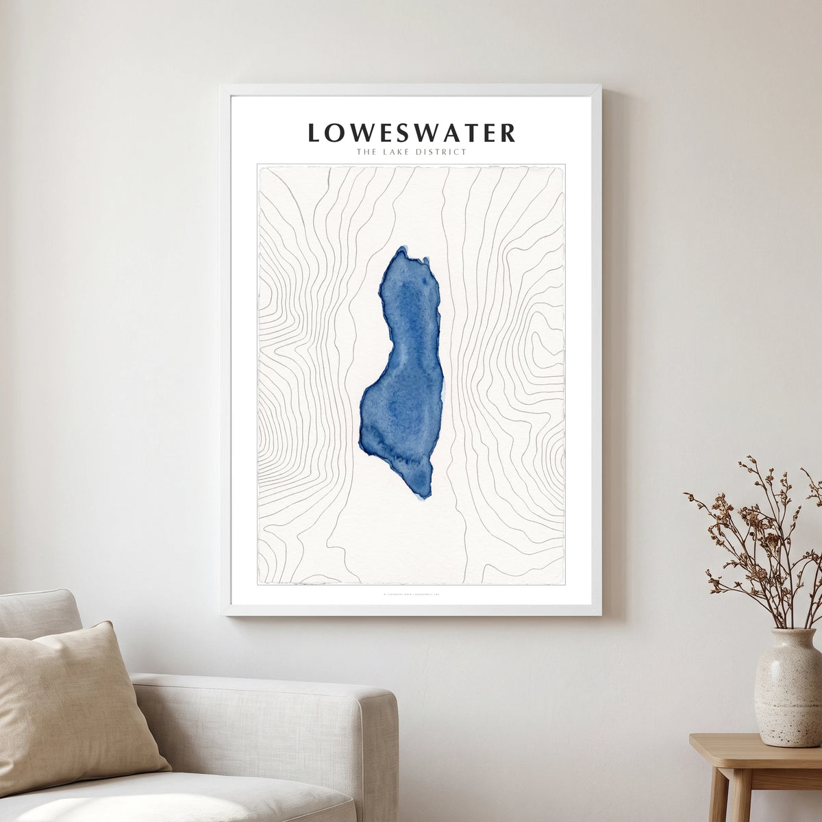
Loweswater lies cradled between the steep flanks of Burnbank Fell and Blake Fell, with Low Fell guarding the north. Stretching for roughly 1.7 kilometres along the valley floor, this secluded water sits at about 121 metres above sea level. It is a quiet corner of the Lake District, beloved by those who seek out the less travelled paths.

Turned on its long axis, the lake forms a broad shape in a deep blue watercolour wash, settling with crisp, darker dried edges. Fine grey contour lines crowd tightly where the surrounding fells rise steeply, spreading wide over flatter ground. Drawn from surveyed shoreline and real contour data, the geography is absolutely true.

Arriving framed and ready to hang, this map brings the fells indoors to a hallway or boot room. A natural wood frame suits the organic feel of the print perfectly. It belongs to a wider series of the lakes, designed to be hung together in twos and threes.

Sizes

30 × 40 cm — 12 × 16 in

45 × 60 cm — 18 × 24 in

50 × 70 cm — 20 × 28 in

Each size is the printed sheet itself; the 20 mm moulding sits outside it. There is no mount — the sheet runs to the frame, so the whole map is on show.

Paper, frame and glazing

Printed on 200 gsm enhanced matte fine-art paper — no gloss, no reflections, and ink that sits in the sheet rather than on it, so the watercolour reads as watercolour.

Framed in a 20 mm wide, 24 mm deep solid wood moulding — black, white or natural oak.

Glazed with shatterproof acrylic rather than glass, so a large sheet arrives intact.

MDF backing board with hanging fixtures already fitted.

How the map is drawn

The shoreline is the surveyed shoreline of the lake, and the contour lines are the real contours of the ground around it, measured by airborne laser survey. The lake is turned to stand on its long axis so it fills the sheet, then finished in watercolour: a deep blue wash for the water, fine grey ink for the contours, on a paper ground.

Nothing is added — no roads, no labels, no compass. If you know the lake, you will know it at once.

Delivery and returns

Every poster is printed and framed to order, at the production facility closest to your delivery address.

Framed pieces are made and dispatched within 5–10 working days. UK delivery normally takes up to five working days after dispatch; international orders can take up to 28 days.

Full detail is in our shipping policy and refund policy.

View full details
Loweswater map poster close-up: the watercolour lake and the pen-drawn contour lines

Drawn from the lake itself

This is not an impression of the lake. It is the lake: its surveyed shoreline, and the real shape of the fells that hold it, painted by hand.

The true shoreline

Every bay, spit and island is where it really is. The outline is taken from the surveyed shoreline, not sketched from memory.

Real contours

The lines are the actual contours of the ground, measured by airborne laser survey. Where they crowd together, the fell is steep. Where they open out, the valley floor is flat.

Finished in watercolour

The water is a deep blue wash with the darker edge a wash leaves as it dries; the contours are drawn in fine grey ink on a paper ground. Printed on 200gsm matte fine-art paper so it looks like paper, not a photograph of one.

More of the Lakes

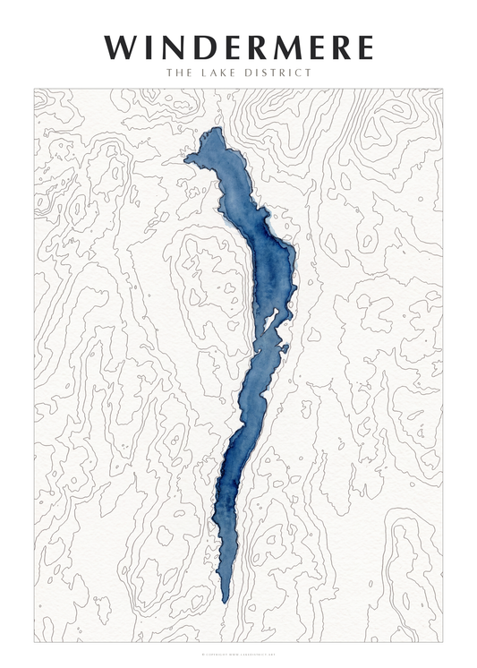
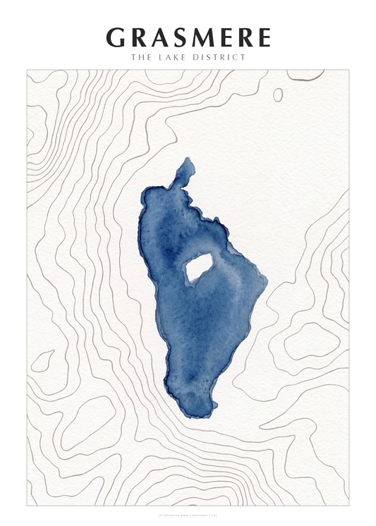
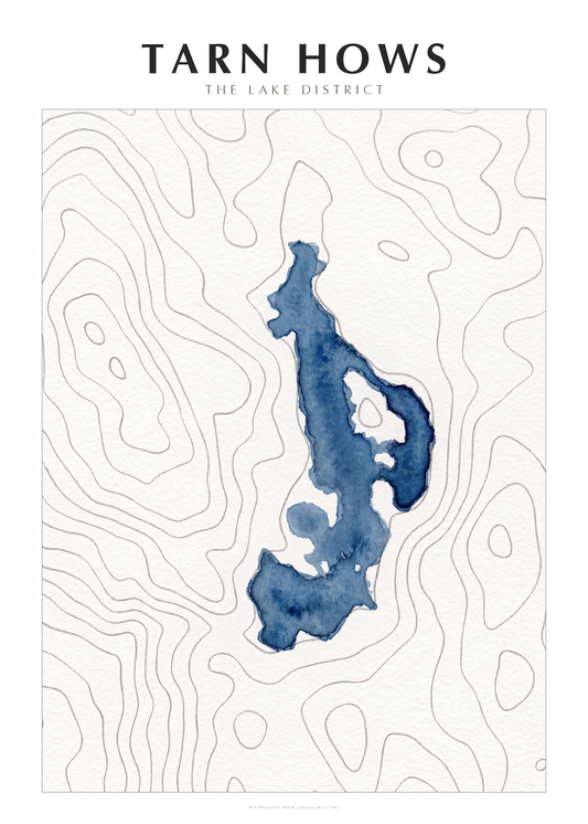
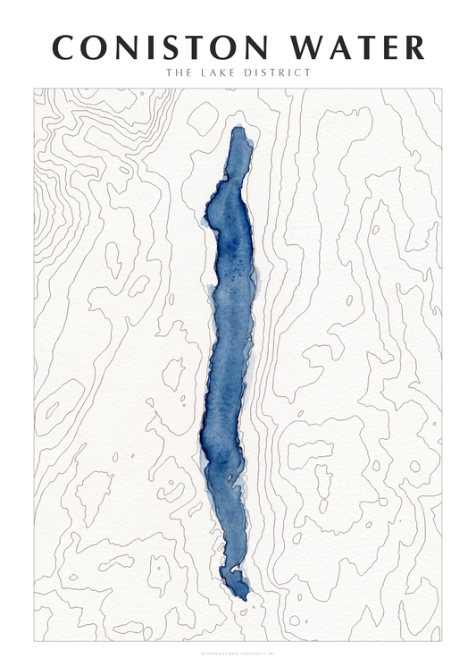
Every lake and tarn in the same hand — made to hang in twos and threes.