
Drawn from the lake itself
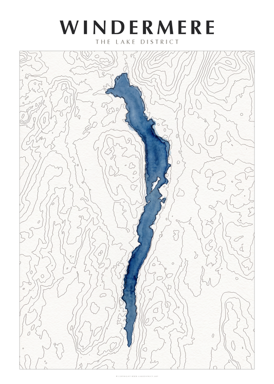
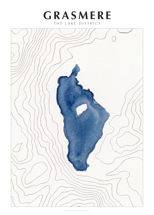
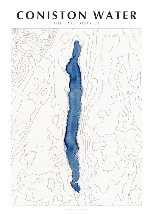
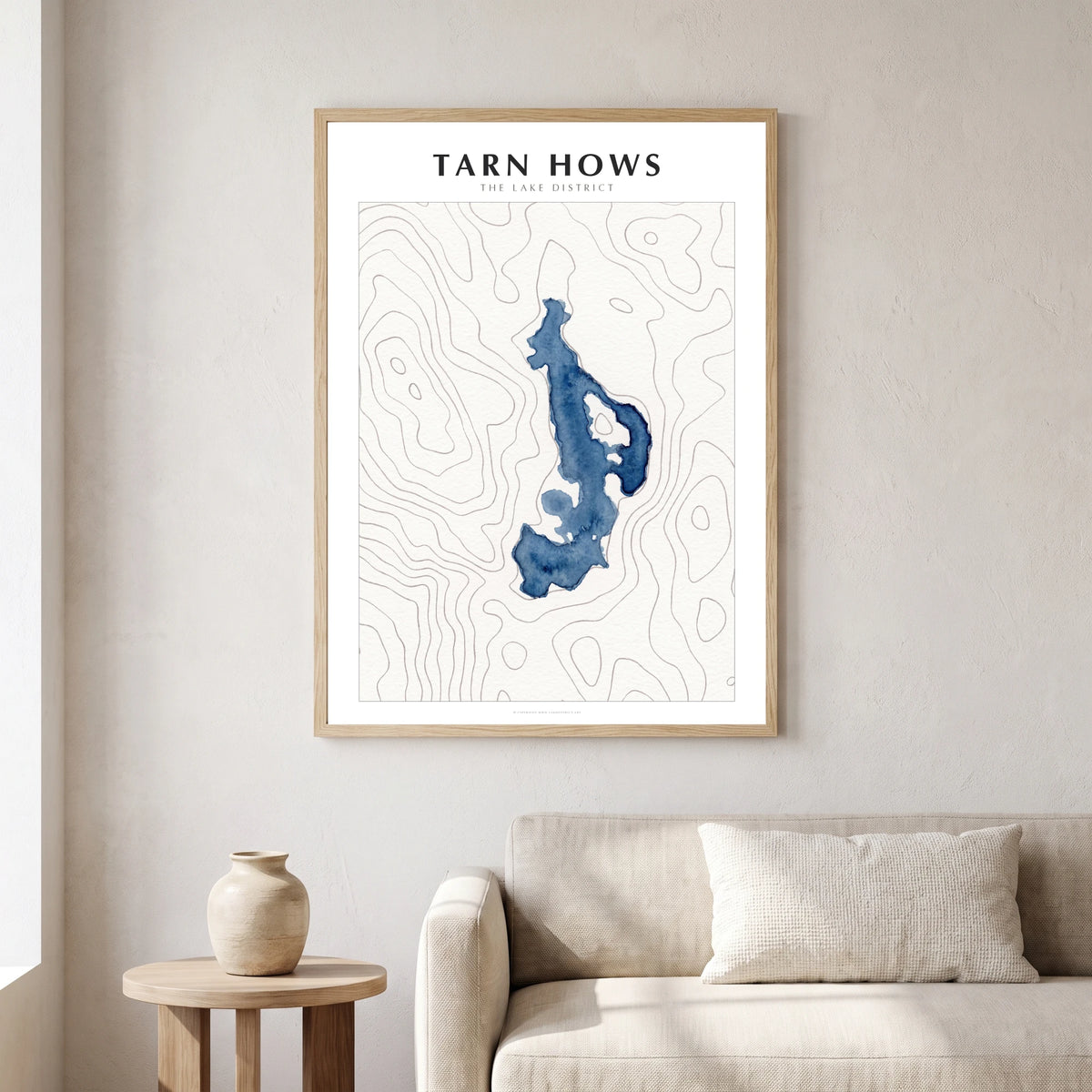
This is not an impression of the lake. It is the lake: its surveyed shoreline, and the real shape of the fells that hold it, painted by hand.
The true shoreline
Every bay, spit and island is where it really is. The outline is taken from the surveyed shoreline, not sketched from memory.
Real contours
The lines are the actual contours of the ground, measured by airborne laser survey. Where they crowd together, the fell is steep. Where they open out, the valley floor is flat.
Finished in watercolour
The water is a deep blue wash with the darker edge a wash leaves as it dries; the contours are drawn in fine grey ink on a paper ground. Printed on 200gsm matte fine-art paper so it looks like paper, not a photograph of one.
Paintings of Tarn Hows
-
Sunlit Dog Beside Tarn Hows
Regular price From £59.99 GBPRegular price -
Tarn Hows Dog Walk Silhouettes
Regular price From £59.99 GBPRegular price -
Sunlit Dog Walkers at Tarn Hows
Regular price From £59.99 GBPRegular price -
Vibrant Tarn Hows Dog Walk
Regular price From £59.99 GBPRegular price


More of the Lakes
Every lake and tarn in the same hand — made to hang in twos and threes.
-
Windermere — Watercolour Map Poster
Regular price From £89.99 GBPRegular price -
Buttermere — Watercolour Map Poster
Regular price From £89.99 GBPRegular price -
Grasmere Lake Map — Watercolour Poster
Regular price From £89.99 GBPRegular price -
Ullswater Lake Map — Watercolour Contour Poster
Regular price From £89.99 GBPRegular price -
Coniston Water — Watercolour Map Poster
Regular price From £89.99 GBPRegular price -
Derwent Water — Watercolour Map Poster
Regular price From £89.99 GBPRegular price -
Wast Water — Watercolour Map Poster
Regular price From £89.99 GBPRegular price -
Bassenthwaite Lake — Watercolour Map Poster
Regular price From £89.99 GBPRegular price