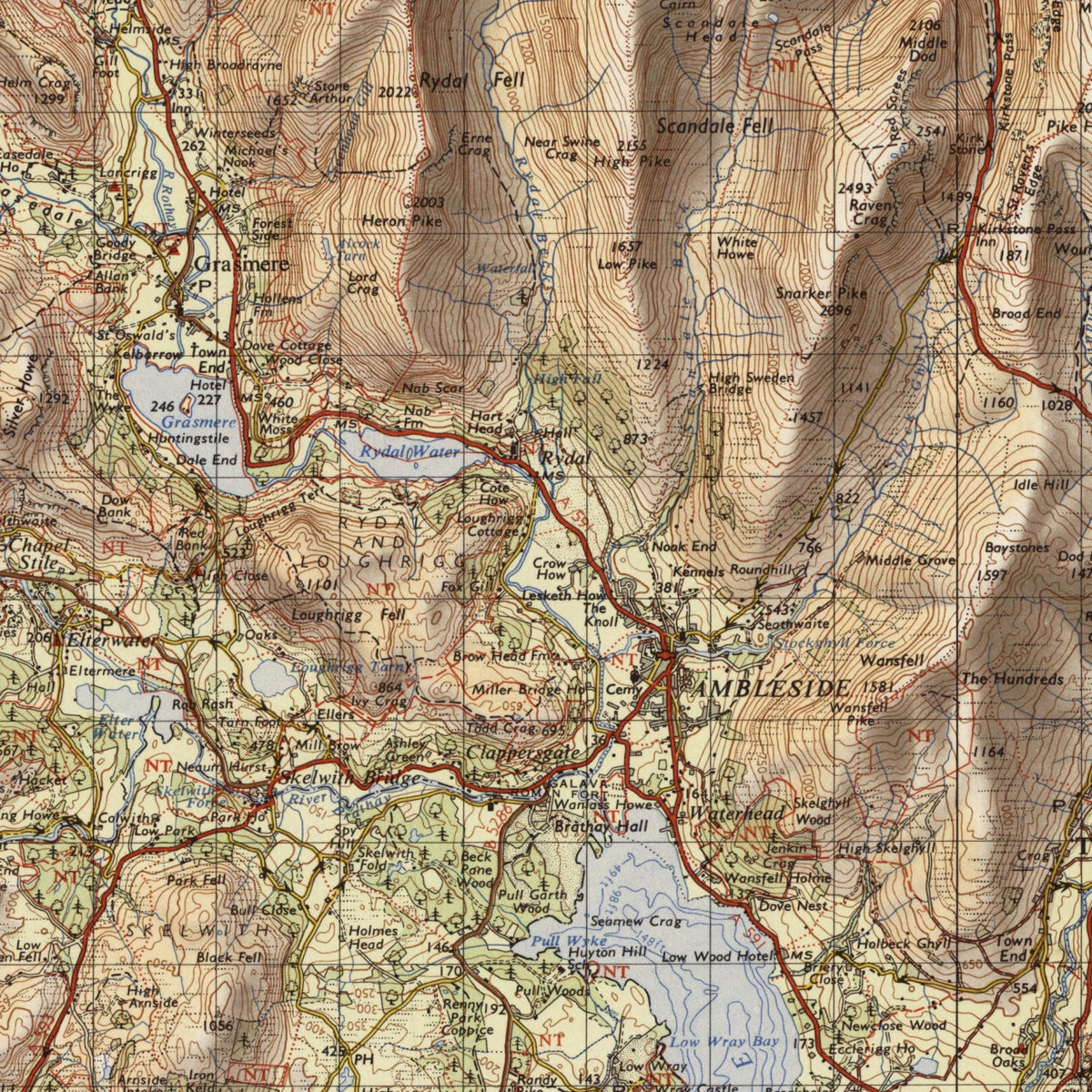
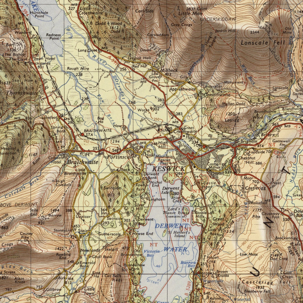
A detail of the print at full size.
About this map
- The sheet
- Lake District (Tourist map) – C Edition, One-inch Seventh Series
- Made by
- Ordnance Survey (Crown)
- Date
- 1966 (revised 1962–64); reprints 1970, 1972, 1974, 1975
A reproduction of the whole sheet, printed from a high-resolution scan of an original copy: the lettering, colouring and margins are the map's own. The original is long out of copyright. Printed to order on 200gsm matte fine-art paper.
Reproduced with the permission of the National Library of Scotland.
More old maps
Old maps of the Lake District and Cumbria, reproduced from the original sheets.
-
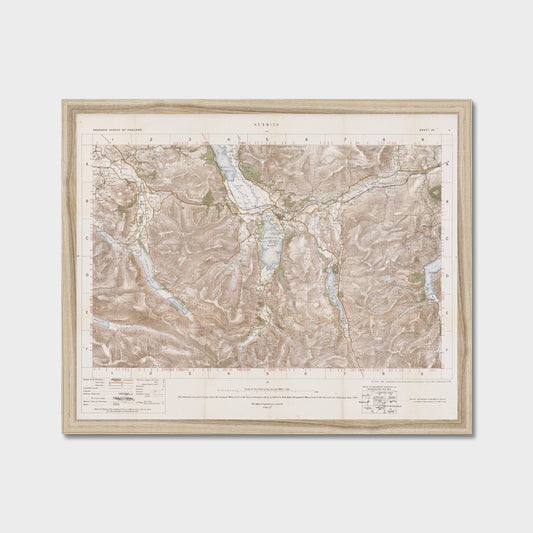
Old Map of Keswick by Ordnance Survey, 1904 – Derwentwater, Buttermere & Helvellyn
Regular price From £24.99 GBPRegular price -
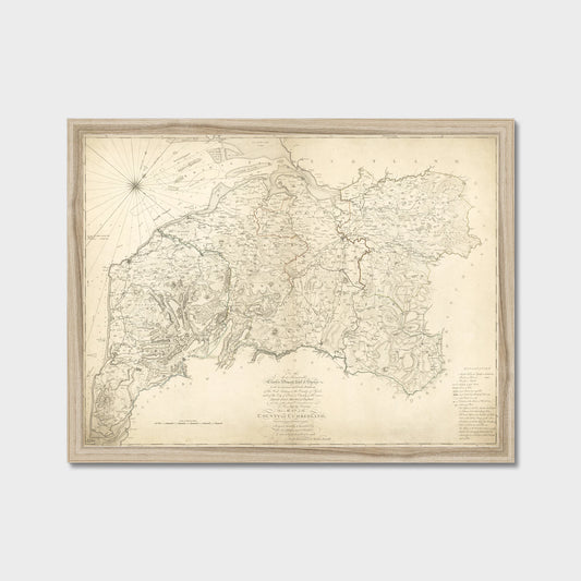
Old Map of Cumberland and the Lake District by Hodskinson & Donald, 1783
Regular price From £24.99 GBPRegular price -
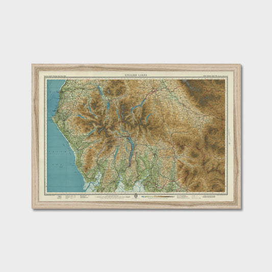
Old Map of the English Lakes by Bartholomew, 1941 – Keswick, Windermere & Ullswater
Regular price From £32.99 GBPRegular price